What is recorded here
Situated on flat pasture with good views in all directions. A number of historical references confirm Moyaliff's borough status. These included a reference dated c.1305 stating the burgesses render 6. 14d per annum (Bradley 1985, 58) and another dated 1338 which states that 60 burgesses held 200 acres for £4 16d, 'nothing can be levied in time of war' (CIPM, vol. 7, 120).
The above description is derived from 'The Archaeological Inventory of County Tipperary. Vol. 1 - North Tipperary' compiled by Jean Farrelly and Caimin O'Brien (Dublin: Stationery Office, 2002). In certain instances the entries have been revised and updated in the light of recent research.
Date of upload/revision: 22 September 2008
The monument record does not grant public access. Check the route and ask the landowner before entering private land.
- What survives
- Recorded monument
Places near here
 Moyaliff Housecountry house · 205 yd
 MoatCastle, motte · 268 yd
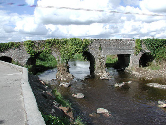 Ballyoughter Bridgebridge · 881 yd
 St. Patricks StoneRitual site, holy/saint's stone · 1.2 mi
 Coolkill Church (site of)Church · 1.2 mi
 Drumbane CastleCastle · 1.3 mi
 Cormackstown Heritage CentreMuseum · 2.8 mi
 Drum WoodWood · 2.8 mi
 KnockaneMountain / peak · 2.9 mi
 Clonoulty HillMountain / peak · 3.3 mi
 European ashEuropean ash · 5.5 mi
 Hore AbbeyHeritage attraction · 9.5 mi