What is recorded here
Situated on a low rise of ground in undulating countryside. In 1300 the township of Moydrifny contributed one mark towards the subsidy for the war in Scotland, this context suggests Modreeny was an incorporated settlement (Graham 1977, 18; Bradley 1985, 58). No earthworks visible at ground level in association with this settlement. Sites at Modreeny include a church and graveyard (TN010-084001/004) and a castle site (TN010-084002). Possible undulations in fields to E, S and W of church may have been site of medieval manor.
The above description is derived from 'The Archaeological Inventory of County Tipperary. Vol. 1 - North Tipperary' compiled by Jean Farrelly and Caimin O'Brien (Dublin: Stationery Office, 2002). In certain instances the entries have been revised and updated in the light of recent research.
Date of upload/revision: 22 September 2008
The monument record does not grant public access. Check the route and ask the landowner before entering private land.
- What survives
- Recorded monument
Places near here
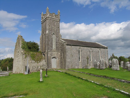 Modreeny Churchchurch/chapel · 85 yd
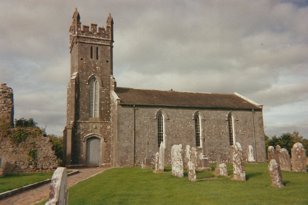 Modreeny Church (in Ruins)Church · 103 yd
 Castle in ruinsCastle, unclassified · 433 yd
 Enclosure in Eminiska (modreeny Par.)Enclosure · 582 yd
 Enclosure in KnockanacreeEnclosure · 818 yd
 Knockanacree WoodForest · 1.0 mi
 MacDonagh HouseMemorial · 1.4 mi
 Thomas MacDonagh Heritage CentreMuseum · 1.4 mi
 CastleCastle, tower house · 1.5 mi
 Ballycapple WoodForest · 2.7 mi
 James Devaney MemorialMemorial · 5.1 mi
 Gibbet HillMountain / peak · 9.3 mi