
What is recorded here
In tillage. An oval enclosure (dims. c. 29m NW-SE; c. 24m NE-SW), defined by a fosse which is visible as a cropmark on satellite imagery (Apple Maps), identified and reported by Jean-Charles Caillère. The 1st (1840) ed. 6-inch OS map indicates a small area of quarrying immediately W of the enclosure which is visible on the satellite imagery as a dark stain.
See attached imagery:
TN010-117----_01 Apple Maps satellite imagery
Compiled by: Jean Farrelly
Date of upload: 3 July 2023
The monument record does not grant public access. Check the route and ask the landowner before entering private land.
- What survives
- Recorded monument
Places near here
 Castle in ruinsCastle, unclassified · 631 yd
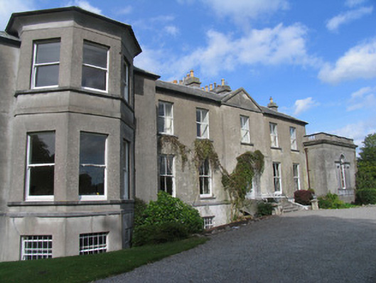 Modreenycountry house · 707 yd
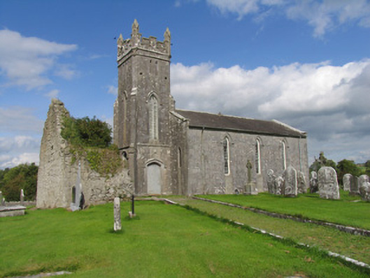 Modreeny Churchchurch/chapel · 903 yd
 Knockanacree WoodForest · 1032 yd
 Enclosure in Eminiska (modreeny Par.)Enclosure · 1370 yd
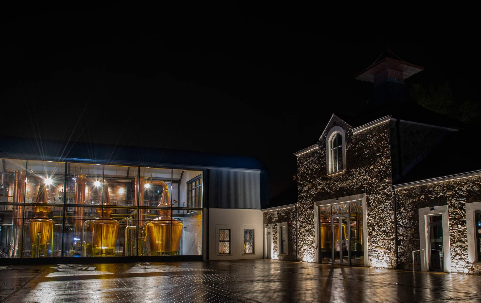 DistilleryArchaeological place · 1493 yd
 MacDonagh HouseMemorial · 1.0 mi
 Thomas MacDonagh Heritage CentreMuseum · 1.0 mi
 CastleCastle, tower house · 1.1 mi
 Ballycapple WoodForest · 2.9 mi
 James Devaney MemorialMemorial · 5.4 mi
 Gibbet HillMountain / peak · 9.4 mi
Other information
Photo: Credit not shown in the picture search · Rights wording not checked; contact us if this picture should be removed