What is recorded here
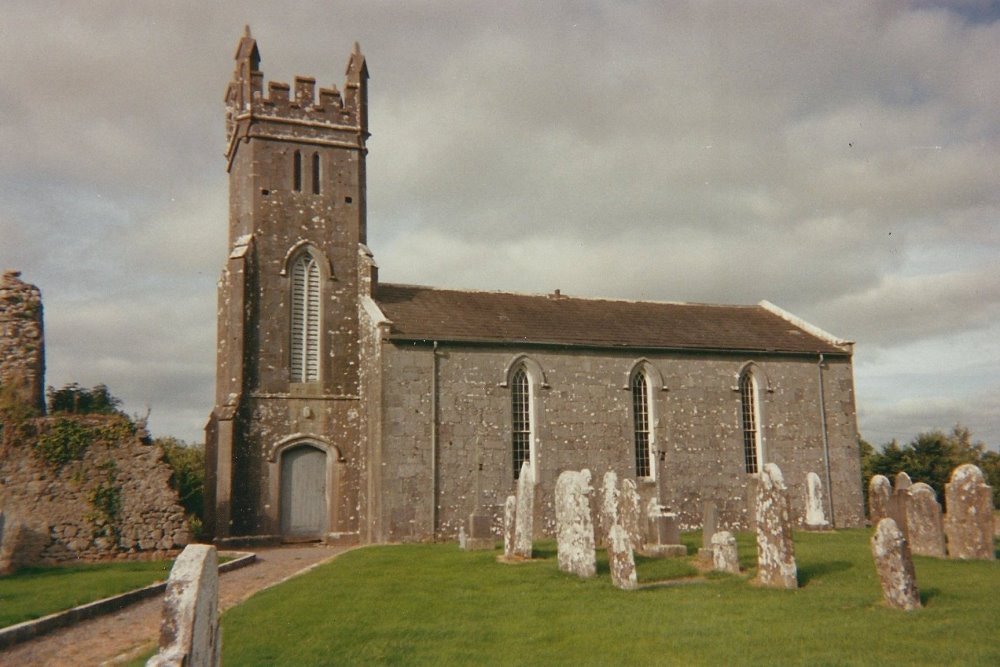
Situated within the medieval borough of Modreeny (TN010-084) on a low rise of ground in undulating countryside with a nearby river to the N. Listed in the ecclesiastical taxation of the Diocese of Killaloe in 1302 (CDI, vol. 5, 302). The Royal Visitation of 1615 described the building as 'chancell up, church down' (Murphy 1914, 220). Present remains consist of the poorly preserved church (ext. dims. 9.78m N-S; 4.6m E-W; wall T 0.95m) of which only the W gable and the W end of the N and S wall returns survive. A nineteenth-century C of I church has been built onto it and has destroyed the original E end of the medieval church. There are no architectural features visible on the medieval building. A bullaun stone (TN016-005), originally from this church is presently at St Michael and John's Roman Catholic church SE of Cloughjordan village.
The above description is derived from 'The Archaeological Inventory of County Tipperary. Vol. 1 - North Tipperary' compiled by Jean Farrelly and Caimin O'Brien (Dublin: Stationery Office, 2002). In certain instances the entries have been revised and updated in the light of recent research.
Date of upload/revision: 22 September 2008
Modreeny Church, a medieval structure dating to around the 13th or early 14th century, was likely built by the local Augustinian community or under the patronage of the Modreeny borough. It is dedicated to St. Mary and is significant as a site recorded in the 1302 taxation of the Diocese of Killaloe, reflecting its role in the ecclesiastical and economic life of the region.
The monument record does not grant public access. Check the route and ask the landowner before entering private land.
- What survives
- Recorded monument
Places near here
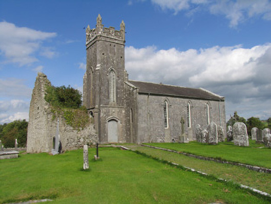 Modreeny Churchchurch/chapel · 18 yd
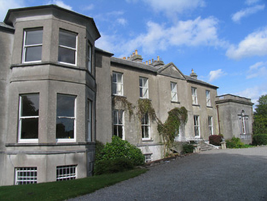 Modreenycountry house · 449 yd
 Enclosure in Eminiska (modreeny Par.)Enclosure · 487 yd
 Castle in ruinsCastle, unclassified · 502 yd
 Enclosure in KnockanacreeEnclosure · 920 yd
 Knockanacree WoodForest · 1.1 mi
 MacDonagh HouseMemorial · 1.4 mi
 Thomas MacDonagh Heritage CentreMuseum · 1.4 mi
 Bawn in CloghkeatingBawn · 1.4 mi
 Ballycapple WoodForest · 2.7 mi
 James Devaney MemorialMemorial · 5.1 mi
 Gibbet HillMountain / peak · 9.3 mi
Other information
Photo: Credit not shown in the picture search · Rights wording not checked; contact us if this picture should be removed