What is recorded here
Situated on a low N-S ridge in undulating countryside. The earthworks of the deserted settlement were excavated by Macalister (Leask and Macalister 1945-8, 3-4) who revealed that the earth and stone banks covered two house sites of seventeenth-century date located to the N and NE of the larger church at Leigh (TN042-055003). Earthworks to the SE of this church, excavated by Glasscock (1971, 45) were of late seventeenth-century date while a raised platform turned out to be a burial ground. The house site to the NE of the church consisted of a rectangular single-roomed seventeenth-century house (ext. dims. 40ft x 18ft 4in (12m x 5.5m); wall T 20in (6m)). A second house site of rectangular plan with rounded corners was revealed immediately to the N of the church.
The above description is derived from 'The Archaeological Inventory of County Tipperary. Vol. 1 - North Tipperary' compiled by Jean Farrelly and Caimin O'Brien (Dublin: Stationery Office, 2002). In certain instances the entries have been revised and updated in the light of recent research.
Date of upload/revision: 22 September 2008
The monument record does not grant public access. Check the route and ask the landowner before entering private land.
- What survives
- Recorded monument
Places near here
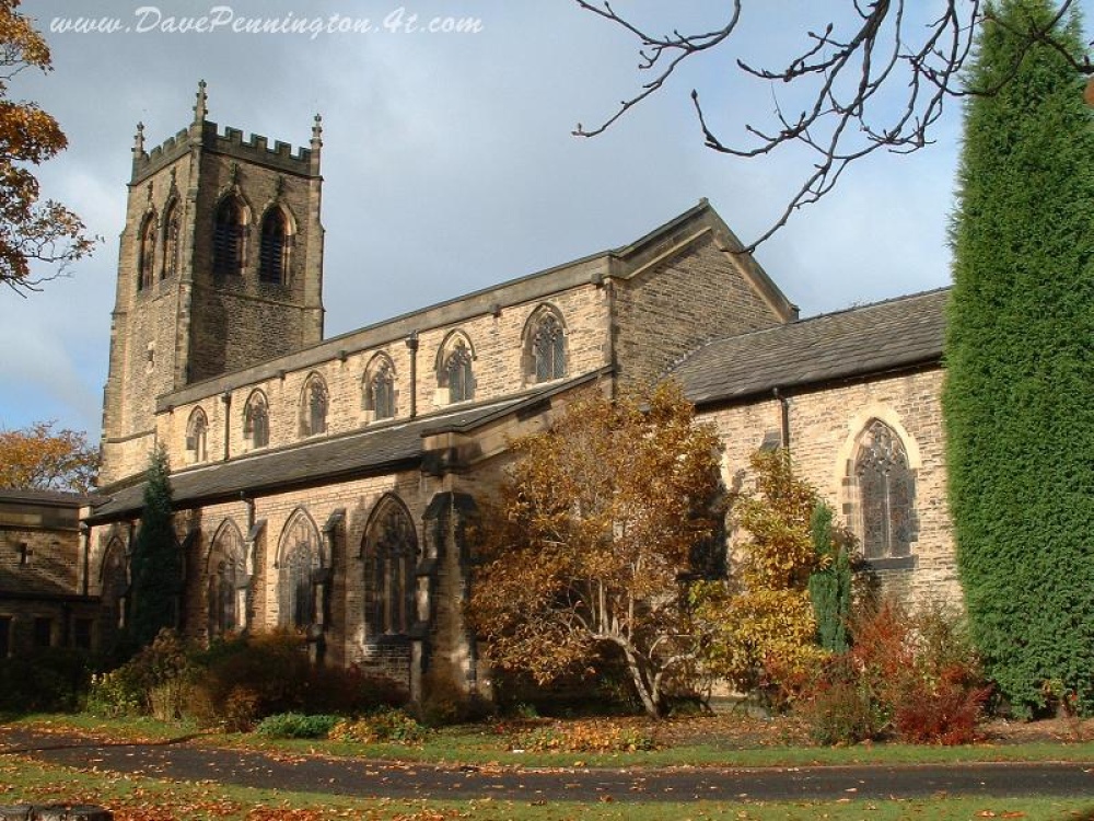 Church (in ruins)Church · 64 yd
 IndicatedEcclesiastical site · 122 yd
 Leighmore Church (in ruins)Church · 143 yd
 Sheela-na-gig in LeighSheela-na-gig · 144 yd
 CastleCastle, tower house · 2.0 mi
 Buolick MoatCastle, ringwork and bailey · 2.5 mi
 Sweet ChestnutSweet Chestnut · 3.4 mi
 European ashEuropean ash · 3.7 mi
 Kilcooly AbbeyHeritage attraction · 4.1 mi
 Derrynaflan TrailHeritage attraction · 4.1 mi
 Bregaun HillMountain / peak · 4.4 mi
 Waterloo HillMountain / peak · 4.8 mi