What is recorded here
Ardnurcher was a fortified medieval borough on a Westmeath ridge, but human ambition has abandoned it to grass and memory. Normans built walls there, Gaelic kings burned them, and MacEochagain took the castle before the town faded from official control. The road that once carried traders and soldiers now crosses empty pasture, while aerial photographs reveal only faint rectangular ghosts beneath the soil. What remained is a name, a ruined gateway, and the quiet certainty that borders are temporary.
A cluster of small houses named 'Kilmead' is recorded on the Down Survey (1655-6) in the area between a burial ground (KD031-027----) and a moated site (KD031-028----), neither of which are recorded. The precise location and extent of the 17th-century (or earlier) settlement in unknown.
Compiled by: Gearóid Conroy
Date of upload: 09 October 2013
The monument record does not grant public access. Check the route and ask the landowner before entering private land.
- What survives
- Recorded monument
Places near here
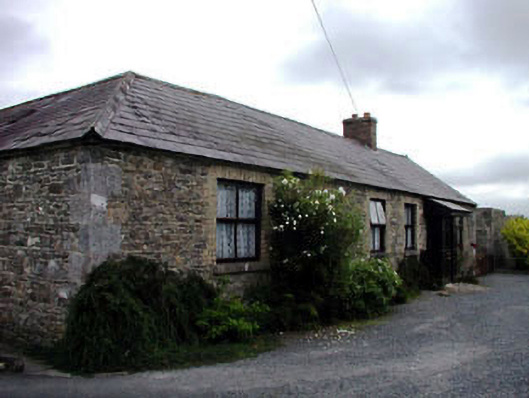 Kilmead Househouse · 70 yd
 Saint Ita's Catholic Churchchurch/chapel · 541 yd
 Enclosure in ArdnagrossEnclosure · 1001 yd
 Enclosure in KilmeadEnclosure · 1047 yd
 Ardscull MoatCastle, motte · 1458 yd
 Gorden Bennet Race memorialMemorial · 1526 yd
 History of Moat of ArdscullVisitor information · 1534 yd
 European BeechEuropean Beech · 1544 yd
 CastleCastle, unclassified · 1.8 mi
 Inch WoodForest · 2.1 mi
 Battle of Kilrushbattle · 2.6 mi
 1798 memorialMemorial · 4.5 mi