What is recorded here
In grassland, on a ridge in high ground with good panoramic views in all directions. A series of irregular earthworks which appear to represent small rectangular fields and earthworks which extend c. 190m N, c. 200m E and c. 250m S of church (TS053-005001-) and graveyard (TS053-005001-). These appear to radiate out from the large enclosure (TS053-003002-) which surrounds the church and graveyard. These are possibly settlement earthworks (TS053-005004-) associated with church.
Compiled by: Jean Farrelly
Date of upload: 10 January 2013
The monument record does not grant public access. Check the route and ask the landowner before entering private land.
- What survives
- Recorded monument
Places near here
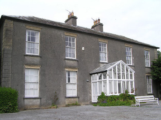 Gaile Househouse · 985 yd
 Killough Hill (site of)Mountain / peak · 1384 yd
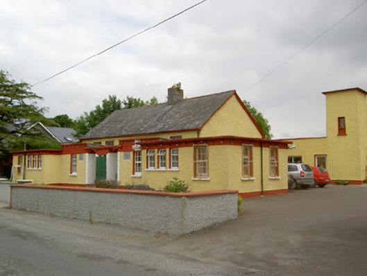 Gaile National Schoolschool · 1459 yd
 Ballytarsna Castle (in ruins)Castle, tower house · 1533 yd
 Enclosure in Killough (gaile Par.)Enclosure · 1.3 mi
 Enclosure in Ballytarsna (hackett)Enclosure · 1.5 mi
 Castle in ruinsCastle, tower house · 2.0 mi
 Gift Horse GalleryGallery · 3.2 mi
 Horse and JockeyVisitor information · 3.8 mi
 Cormackstown Heritage CentreMuseum · 4.4 mi
 Taylor's WoodWood · 4.4 mi
 Wildlife CorridorWood · 4.6 mi