What is recorded here
Donaghmore in County Laois originated beside an early medieval parish church before a Norman fortification rose above the river in the late twelfth century. The Down Survey recorded two castles, church ruins, a mill and scattered houses decades before the settlement vanished entirely. What remains is a ghost town inside a living village, where stone foundations and river memory preserve more than any building could hold.
Unlocated settlement within the village of Donaghmore, indicated on the Down Survey (1655-6) map as 'two castles, the ruines of a church and a mill , several houses and cabbins'. Feehan states that 'The village of Donaghmore probably originated as early as a settlement node in the vicinity of the early medieval parish church, and was reinforced by the establishment here in the late twelfth century of an early Norman fortification above the river north of the village' (Feehan 1983, 384).
Compiled by: Caimin O'Brien
Date of upload: 17 December 2007
The monument record does not grant public access. Check the route and ask the landowner before entering private land.
- What survives
- Recorded monument
Places near here
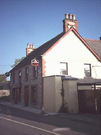 public housepublic house · 227 yd
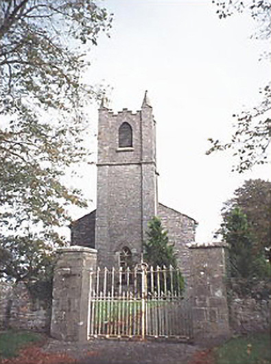 Saint Patrick's Church (Donaghmore)church/chapel · 268 yd
 Donaghmore MoatCastle, motte · 503 yd
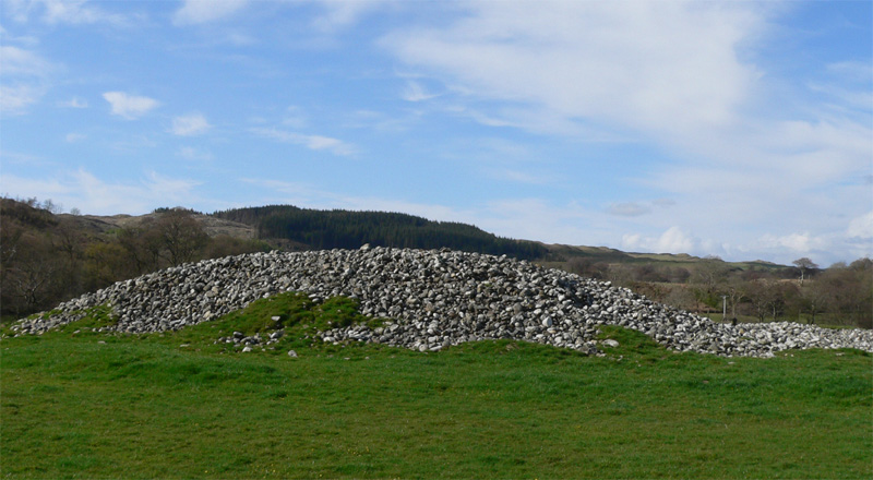 Enclosure in Ballyhegadon GlebeEnclosure · 715 yd
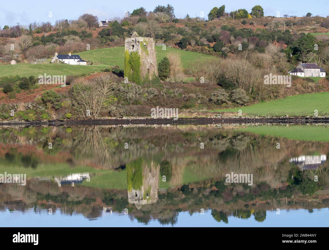 Enclosure in Raheen UpperEnclosure · 962 yd
 Donaghmore Castle ruinsCastle · 1315 yd
 Big WoodWood · 4.6 mi
 Cnoc SeanrathaMemorial · 4.9 mi
 Clonmeen WoodWood · 4.9 mi
 Tullow HillMountain / peak · 6.7 mi
 DelaneyMemorial · 8.6 mi
 College HillMountain / peak · 10 mi