What is recorded here
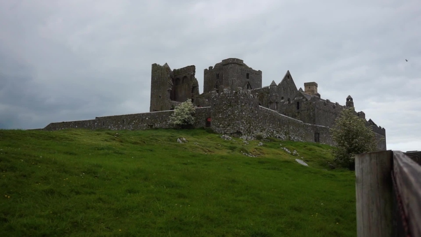
Eleven stone houses and a broad roadway still mark the ground beside the tower, though no roof or door remains to explain who lived there. The field walls jump across the grass without pattern, as if the settlement refused to be remembered properly. Perhaps a whole neighbourhood once breathed around that tower before it vanished, leaving only angles and shadows for the rain to fill.
To S and SW of a tower house (GA058-045001-). Traces of earthworks are visible covering an area 300m E-W by 200m N-S. These include the foundations of at least eleven drystone-built rectangular houses (L c. 11m Wth c. 4.5m) and associated field walls which form no obvious pattern. A possible roadway (L 50m, Wth 10m), defined by two parallel drystone walls, is also visible.
The above description is derived from the published 'Archaeological Inventory of County Galway Vol. II - North Galway'. Compiled by Olive Alcock, Kathy de hÓra and Paul Gosling (Dublin: Stationery Office, 1999).
Date of upload: 05 August 2010
The monument record does not grant public access. Check the route and ask the landowner before entering private land.
- What survives
- Recorded monument
Places near here
 CashlaundarraghCastle · 12 yd
 Tober PatrickHoly well · 1165 yd
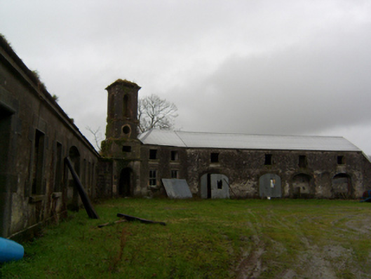 Ryehilloutbuilding · 1546 yd
 Man-made underground passageMan-made underground passage · 1.1 mi
 R. C. ChapelChurch · 1.2 mi
 Killaclogher CastleCastle · 1.7 mi
 SycamoreSycamore · 2.6 mi
 Common WhitebeamCommon Whitebeam · 2.6 mi
 Knockmoy AbbeyHeritage attraction · 2.9 mi
 Menlough IRAMemorial · 6.1 mi
 Mass RockNamed rock · 12 mi
 Enclosure in Stonepark (ballymoe By.)Enclosure · 1.2 mi
Other information
Photo: Credit not shown in the picture search · Rights wording not checked; contact us if this picture should be removed