What is recorded here
Unlocated town within townland mentioned in 1571 Elizabethan land grant to Owen mac Hugh O'Dempsie. Town of Portarlington was previously known as the town of Cooletodderie as mentioned in Elizabethan land grant to Owen mac Hugh O'Dempsie and described as containing 80 acres, which lieth southwest from the River of the Barough, and abutteth upon the town and lands called Bracklone East. The towne and lands of Bracklone contayning 20 acres' (O'Flanagan 1933, vol. 2, p. 51).
Compiled by: Caimin O'Brien
Date of upload: 17 December 2007
The monument record does not grant public access. Check the route and ask the landowner before entering private land.
- What survives
- Recorded monument
Places near here
 CastleCastle, motte and bailey · 828 yd
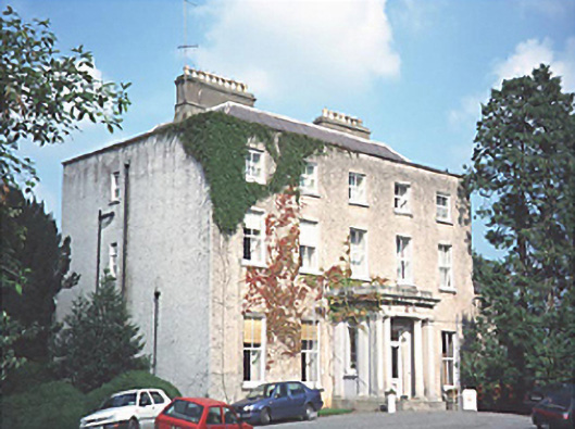 Kilnacourthouse · 1171 yd
 Portarlington Railway Stationrailway station · 1244 yd
 Church (in Ruins), GraveyardChurch · 1410 yd
 Lea Castle (in ruins)Castle, Anglo-Norman masonry castle · 1557 yd
 RathmilesFairy fort / earthen ringfort · 1.6 mi
 Bog Lake WalkWalking route · 1.8 mi
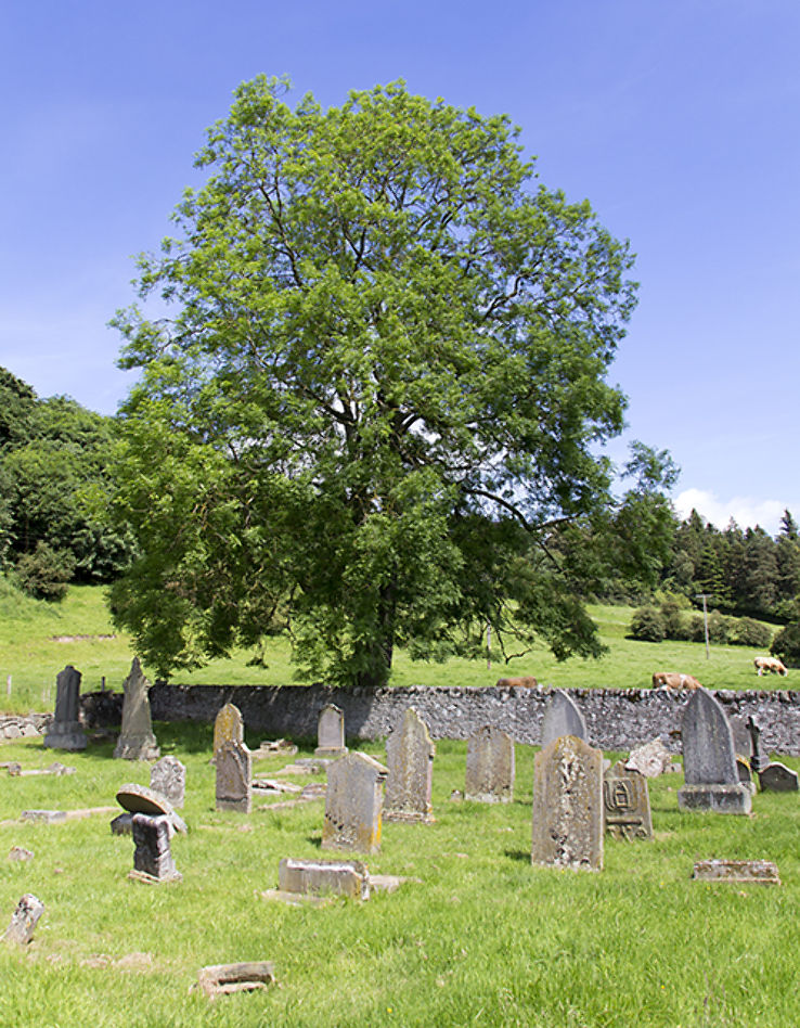 Burial ground in DerryvillaBurial ground · 1.9 mi
 Bog Oak WalkWalking route · 2.0 mi
 Wych ElmWych Elm · 2.3 mi
 Derryounce Lakes & TrailsNature reserve · 2.5 mi
 Emo CourtHeritage attraction · 3.3 mi