What is recorded here
Ardnurcher was a fortified medieval borough on a Westmeath ridge where Norman castles clashed with Gaelic kings until the town vanished into grass. Brownrigg mapped its dual roads in 1788, marking it as the ancient gateway from the Borders into the English Pale. Today only faint aerial outlines and scattered wall fragments remain of the market houses that raiders burned and MACEOCHAGAIN eventually held.
No surface traces. Pits and possible foundation trench of rectangular structure dating to 13th and 14th centuries excavated during laying of gas pipeline. Features extend beyond pipeline trench. (C-D g P 1984). (Bradley et al.168-76)
Aerial photograph (GB89.O.11) shows cropmarks of interconnected fosses defining small irregular plots.
Date of upload: 6 September 2016
The monument record does not grant public access. Check the route and ask the landowner before entering private land.
- What survives
- Recorded monument
Places near here
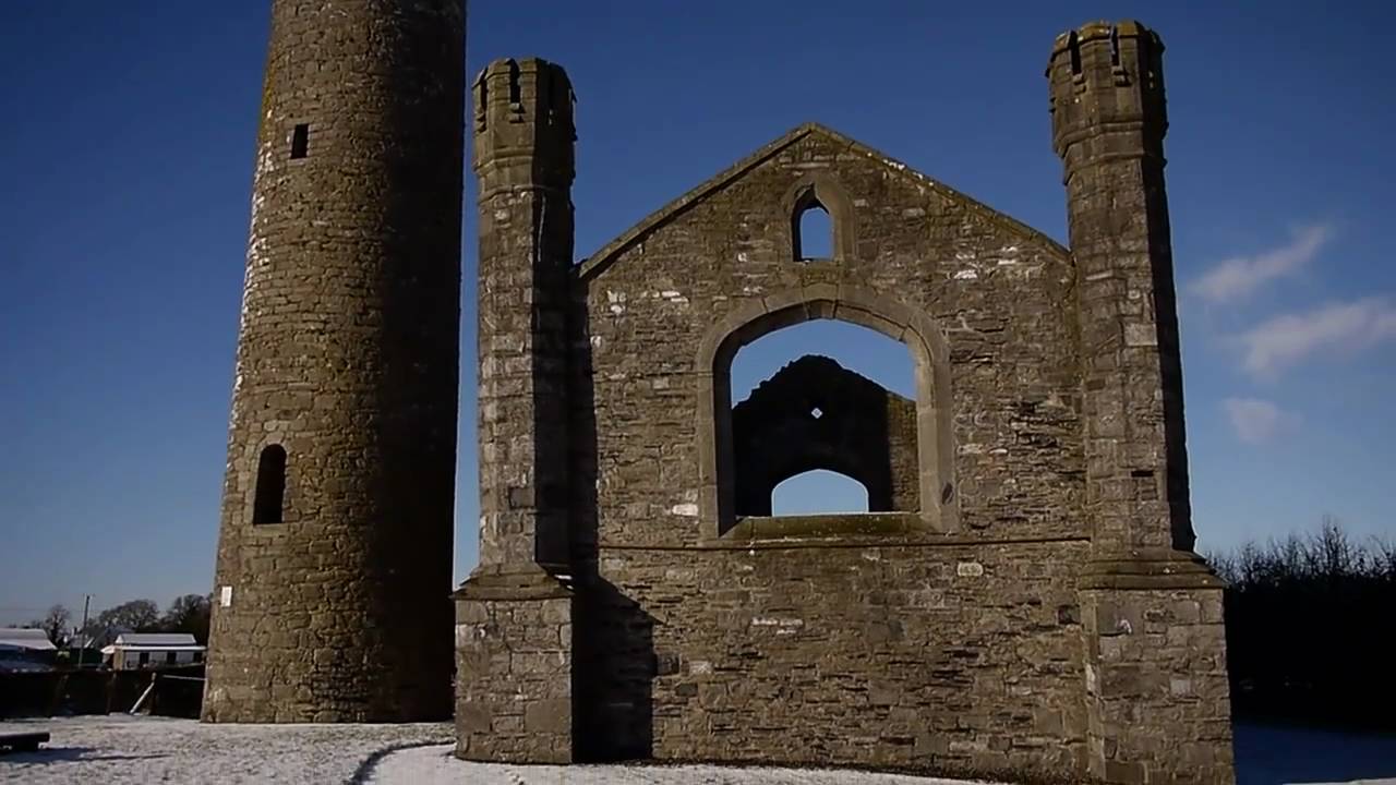 Church (in Ruins)Church · 137 yd
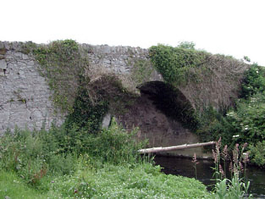 Newtown Bridgebridge · 315 yd
 Enclosure in BlackcastleEnclosure · 327 yd
 Enclosure in NewtownpilsworthEnclosure · 1021 yd
 Castle in ruinsCastle, unclassified · 1.0 mi
 Castle (in ruins)Castle, tower house · 1.5 mi
 Oak Park Forest ParkWood · 2.2 mi
 Pedunculate OakPedunculate Oak · 2.3 mi
 Lorcán Ó TuathailMemorial · 3.1 mi
 ProclamationMemorial · 3.2 mi
 Franciscan FriaryHeritage attraction · 3.5 mi
 Castledermot Round TowerHeritage attraction · 3.6 mi