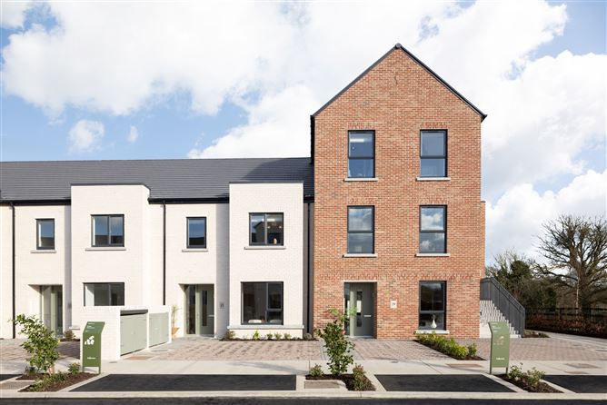
What is recorded here
Aerial photograph (CUCAP BGN 54) shows cropmarks of two widely spaced apparently concentric fosses (est. diam. of inner enclosure c. 40m; est overall diam. c. 90m). The area between the inner and outer fosse appears to have radial subdivisions. Possibly a ringfort with a radial field system. Similar to Garvoge ringfort (No.***).
A local fairy fort (ringfort/rath); wider significance not recorded.
The monument record does not grant public access. Check the route and ask the landowner before entering private land.
- What survives
- Recorded monument
Places near here
 Enclosure in Grange (ballyadams By.)Enclosure · 555 yd
 Enclosure in Maganey LowerEnclosure · 691 yd
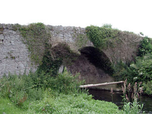 Newtown Bridgebridge · 711 yd
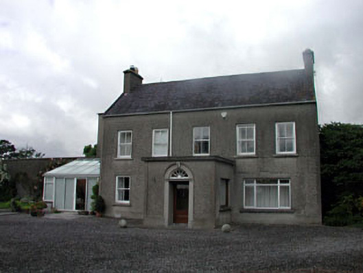 farm housefarm house · 895 yd
 Castle in ruinsCastle, unclassified · 1070 yd
 Castle (in ruins)Castle, tower house · 1.5 mi
 Pedunculate OakPedunculate Oak · 2.2 mi
 Oak Park Forest ParkWood · 2.7 mi
 Lorcán Ó TuathailMemorial · 3.2 mi
 ProclamationMemorial · 3.7 mi
 Franciscan FriaryHeritage attraction · 3.9 mi
 Castledermot Round TowerHeritage attraction · 4.0 mi
Other information
Photo: Credit not shown in the picture search · Rights wording not checked; contact us if this picture should be removed