What is recorded here
Unlocated deserted medieval settlement possible that is described as a village in the townland of Barrysbrook c. 1550 (Byrne and Scully n.d. 15-17).
The above description is derived from the published 'Archaeological Inventory of County Offaly' (Dublin: Stationery Office, 1997). In certain instances the entries have been revised and updated in the light of recent research.
Date of upload: 23 May 2011
The monument record does not grant public access. Check the route and ask the landowner before entering private land.
- What survives
- Recorded monument
Places near here
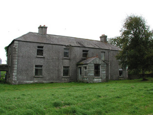 Barrysbrook Housefarm house · 775 yd
 StructureStructure, peatland · 903 yd
 RoadRoad, class 2 togher · 1084 yd
 Hilltop enclosure in Togher (phillipstown Lower By.)Hilltop enclosure · 1096 yd
 Site of Lady Mary Warrens CastleCastle, unclassified · 1683 yd
 Croghan HillMountain / peak · 1.1 mi
 Croghan Hill WalkVisitor information · 1.2 mi
 Finnrenashark Holy WellSpring · 1.3 mi
 OutlinedBawn · 1.5 mi
 Clonin EarthworksMountain / peak · 1.7 mi
 Holy PlantationForest · 1.7 mi
 Victoria PlantationWood · 1.8 mi