
What is recorded here
The site (L 16.97m min.; Wth 1.9m; D 0.07m) is orientated NNE-SSW and consists of transverse heavy brushwood and some roundwoods on the field surface. At the N end the elements are set up to 0.17m apart. The brushwood (diam. 0.02-0.058m) is dispersed throughout the site. Some of the roundwoods (diam. 0.07-0.1m) have been partially half-split. The S exposure is similar although pegs are evident. A variety of worked ends are present, most of which have been crudely cut and split. Where not machine damaged the wood is in moderate condition and set in well-humified Sphagnum peat with occasional Eriophorum and ericaceous remains. There is a concentration of Calluna vulgaris underlying the site on the S side.
Compiled by: Irish Archaeological Wetland Unit (University College Dublin).
Date of upload: 23 May 2011
The monument record does not grant public access. Check the route and ask the landowner before entering private land.
- What survives
- Recorded monument
Places near here
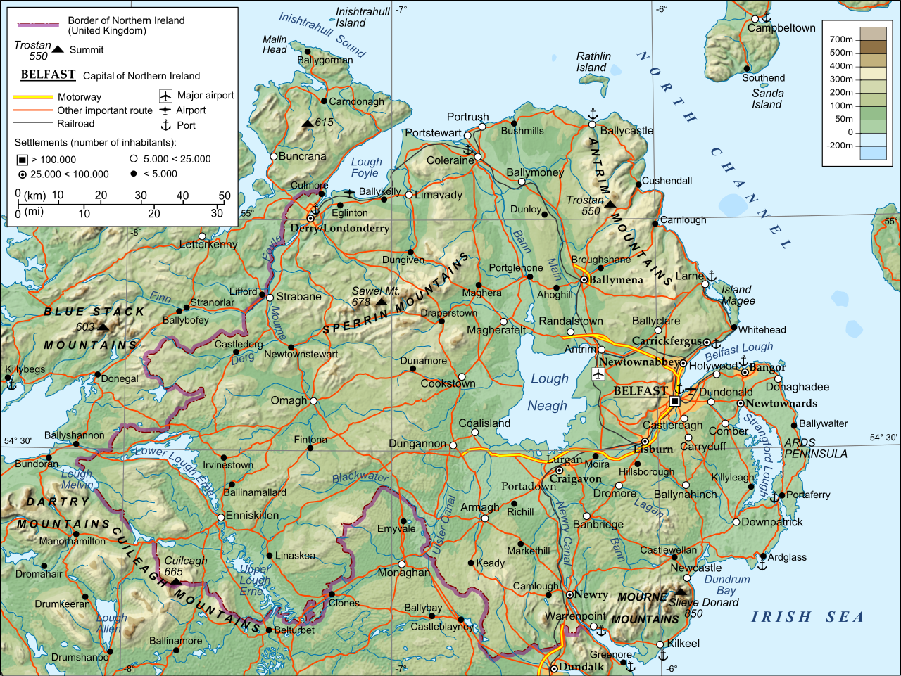 StructureStructure, peatland · 392 yd
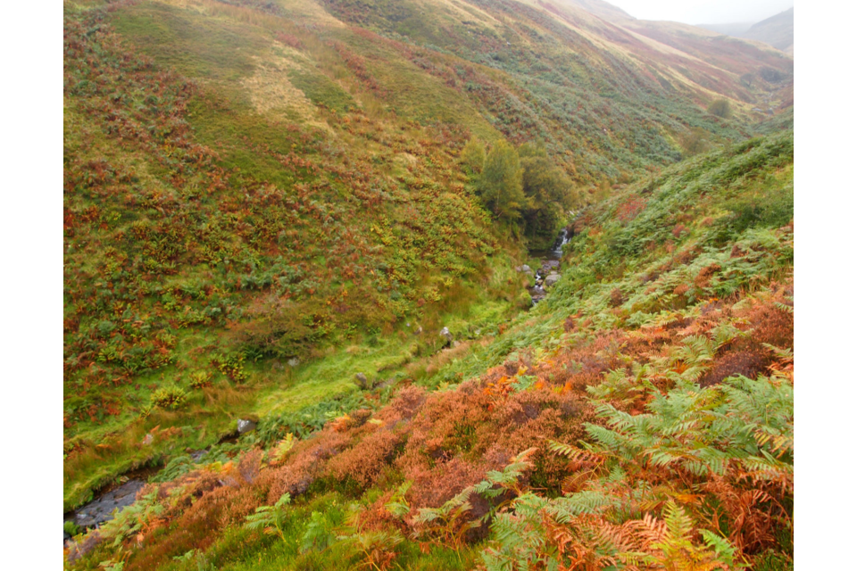 PlatformPlatform, peatland · 642 yd
 The Togher of CroghanRoad, unclassified togher · 748 yd
 Site of Lady Mary Warrens CastleCastle, unclassified · 764 yd
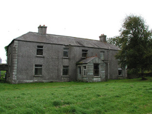 Barrysbrook Housefarm house · 1333 yd
 OutlinedBawn · 1616 yd
 Holy PlantationForest · 1.1 mi
 Victoria PlantationWood · 1.2 mi
 Clonin EarthworksMountain / peak · 1.2 mi
 Croghan HillMountain / peak · 1.7 mi
 Croghan Hill WalkVisitor information · 1.8 mi
 Finnrenashark Holy WellSpring · 1.8 mi
Other information
Photo: Credit not shown in the picture search · Rights wording not checked; contact us if this picture should be removed