
What is recorded here
Aerial photographs taken by Cambridge University in 1966 clearly show the extensive remains of medieval settlement earthworks associated with 'Kilbixy Town' (WM011-155----) in the fields to the W and SW of the 19th century Church of Ireland church (CUCAP APH006/007/008/009; ATF079/080/081/082; BDV066). The earthworks represent the remains of the deserted settlement (WM011-155----) indicated on the 1837 OS 6-inch map as the 'Site of Kilbixy Town' and which is marked in a field located 300m E of the field containing the earthworks. A motte and bailey (WM011-039----) is located 200m to the N, the site of a medieval church (WM011-040002-), a medieval hospital (WM011-040001-) and graveyard (WM011-040005-) are located 100m to the E.
The earthworks were described in 1972 as 'In the large field where St. Brigid's well (WM011-038----) is situated there is an extensive complex of banks, scarp and depressions, including two parallel banks, which may represent part at least of the old town of Kilbixy' (SMR file 1972). These earthworks are clearly visible on Digital Globe aerial photographs taken November 2011. On this aerial photograph there are no visible earthworks associated with a settlement in the field depicted as the ''Site of Kilbixy Town' and which is also annotated as 'Burgess Land'. Same site as WM011-155----. See WM011-155---- entry for more details.
Compiled by: Caimin O'Brien
Date of upload: 4 October 2010
The monument record does not grant public access. Check the route and ask the landowner before entering private land.
- What survives
- Recorded monument
Places near here
 Bridgets WellHoly well · 147 yd
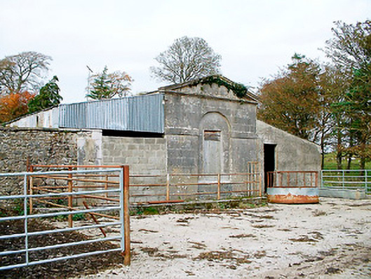 Baronstown HouseOfficially recorded historic building · 176 yd
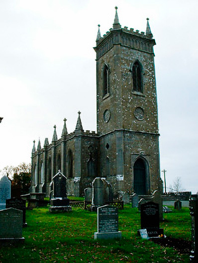 Saint Bigseach's Church (Kilbixy)church/chapel · 210 yd
 Horse-chestnutHorse-chestnut · 215 yd
 Man-made underground passage in Baronstown DemesneMan-made underground passage · 223 yd
 CastleCastle, motte and bailey · 286 yd
 Baronstown ForestWood · 459 yd
 Site of Castle, Castle FieldCastle, unclassified · 689 yd
 Rock of CurryCliff · 12 mi
 Font in Baronstown DemesneFont · 228 yd
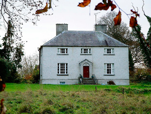 The Old Rectoryrectory/glebe/vicarage/curate's house · 478 yd
 St. Bicseaghs WellHoly well · 802 yd
Other information
Photo: Credit not shown in the picture search · Rights wording not checked; contact us if this picture should be removed