
What is recorded here
Post-reformation octagonal-shaped limestone font, partially broken, lying on the surface of the graveyard between C of I church and Malone family mausoleum to the ESE of church. According to the Urban Survey of Ireland (Bradley et. al. 1985, 108-09) ‘the church (WM011-040002-) of Kilbixy granted by Geoffrey de Costentin to Ralph Petit, archdeacon of Meath, in a charter of 1192/1218 is to be identified with this church, established before the coming of the Normans (Clarke 1941, 90). The parish church of Kilbixy is specifically mentioned in 1259 (Clarke 1941, 122), 1492 (Cal. papal letters 1978, 430) and 1540 (White 1943, 277). In 1682 Piers (1981, 77) described it as ‘the remains of an ancient and well built church, the mother of many churches and chapels about it, which had at the west end a very well built high tower or steeple’. The present church, which is in ruins, was constructed c.1800. Octagonal limestone font (dims. H 0.48m; ext. diam. 0.55m; int. diam. 0.42m), north-east of the church. Less than half of the basin survives but it appears to lack a drainage hole. There were four wide and four narrow panels. The lower panels are chamfered inwards. Roe (1968, 123) regarded it as of post-Reformation date'.
To see a 3D model of the font visit; https://skfb.ly/ozrzN
Compiled and revised by: Caimin O'Brien
Date of revised upload: 17 June 2015
A post-Reformation octagonal limestone font, likely 17th- or 18th-century, associated with the Church of Ireland in Baronstown Demesne; its survival reflects the continuity of Christian worship in the area despite religious upheaval.
The monument record does not grant public access. Check the route and ask the landowner before entering private land.
- What survives
- Recorded monument
Places near here
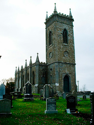 Saint Bigseach's Church (Kilbixy)church/chapel · 19 yd
 Horse-chestnutHorse-chestnut · 50 yd
 Man-made underground passage in Baronstown DemesneMan-made underground passage · 92 yd
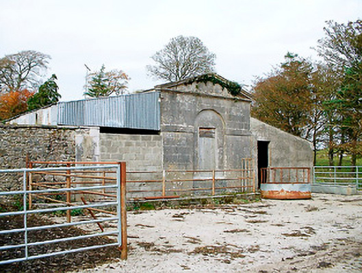 Baronstown HouseOfficially recorded historic building · 191 yd
 Settlement desertedSettlement deserted, medieval · 228 yd
 CastleCastle, motte and bailey · 255 yd
 Baronstown ForestWood · 304 yd
 Site of Castle, Castle FieldCastle, unclassified · 902 yd
 Newcastle WoodsForest · 8.9 mi
 Rock of CurryCliff · 12 mi
 Bridgets WellHoly well · 302 yd
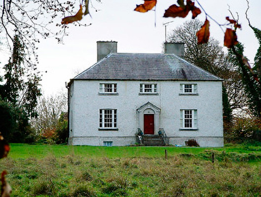 The Old Rectoryrectory/glebe/vicarage/curate's house · 412 yd
Other information
Photo: Credit not shown in the picture search · Rights wording not checked; contact us if this picture should be removed