What is recorded here
The precise location of a medieval settlement associated with Doonmoon (Ballynahinch) Castle (LI048-020----) has not been identified. The terrier of the 1654-56 Down Survey map of Down and Long parish map recorded that; ‘Upon Downemoone Standes a Faire Castle and a good Irish Towne’ (NLI MS 718). The 1654-56 Civil Survey of Limerick recorded that Gibbon fitz Gibbon of Doonmoone, an Irish Papist was in 1640 the owner of Doonmoone, ‘whereon stands a Castle [LI048-020----], Bawne [LI048-020001-] & a Mill’ along with ‘three tatch houses, two whereof have two stone Chymnies and about 22 smale Cabyns [LI048-020002-]’ (Simington 1938, 234).
Compiled by: Caimin O'Brien
Date of upload: 22 September 2021
The monument record does not grant public access. Check the route and ask the landowner before entering private land.
- What survives
- Recorded monument
Places near here
 Ballynahinch Bridgebridge · 372 yd
 Church in BallynahinchChurch · 760 yd
 BarrowBarrow, ditch barrow · 921 yd
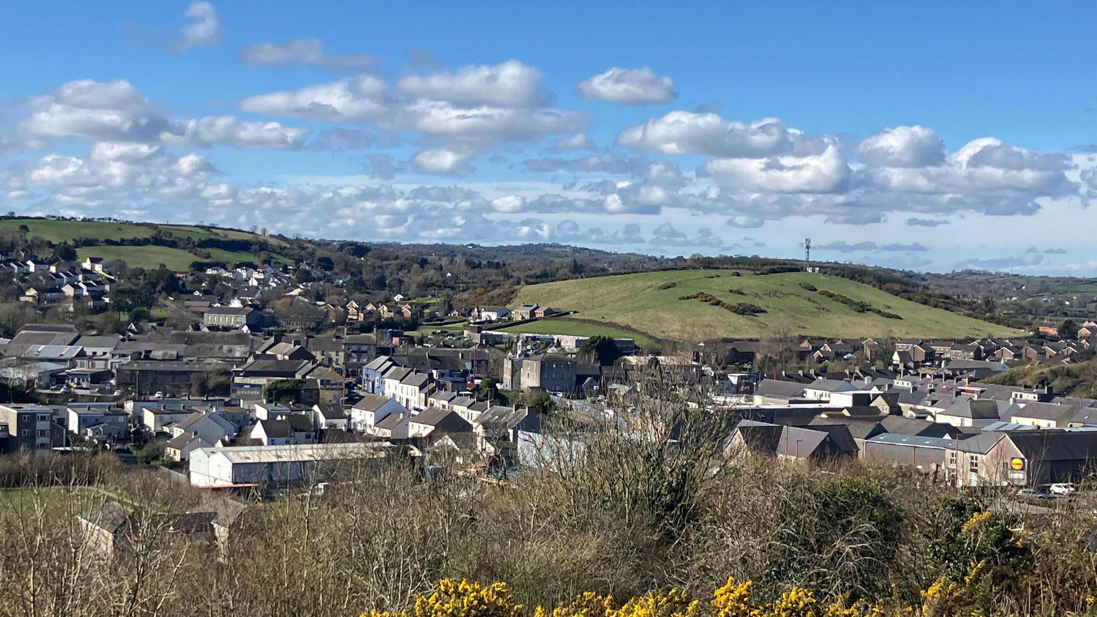 Field system in BallynahinchField system · 1143 yd
 Edmund's WellSpring · 1698 yd
 Ballinvreena LoopVisitor information · 1.5 mi
 Athneasy FortCastle, motte and bailey · 1.5 mi
 Castle (in ruins)Castle, tower house · 1.7 mi
 St Patrick's WellSpring · 1.8 mi
 SlievereaghMountain / peak · 2.7 mi
 Palatine's RockNamed rock · 3.8 mi
 Ballyhoura WayWalking route · 4.0 mi