
What is recorded here
In reclaimed grassland, possible barrow (LI048-122----) 90m to NW. Outline of circular-shaped area (approx. diam. 8m) defined by a ditch visible on Digital Globe orthoimage taken 2011-13. Could be the remains of a small ditch-barrow.
Compiled by: Caimin O’Brien
Date of upload: 24 September 2020
Ditch barrow, likely dating to the Early Bronze Age. Its presence indicates prehistoric burial or ceremonial activity in the area, though its exact significance remains unclear due to limited archaeological investigation.
The monument record does not grant public access. Check the route and ask the landowner before entering private land.
- What survives
- Recorded monument
Places near here
 Ballynahinch Bridgebridge · 561 yd
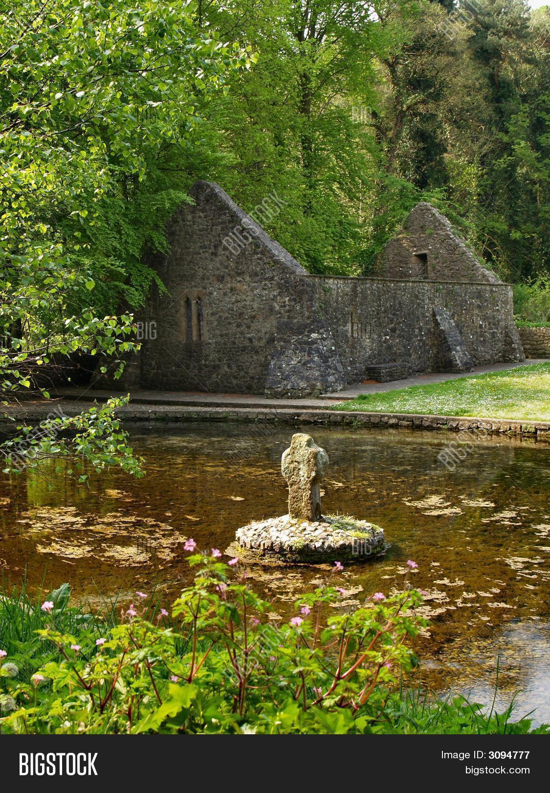 St Moluas WellHoly well · 707 yd
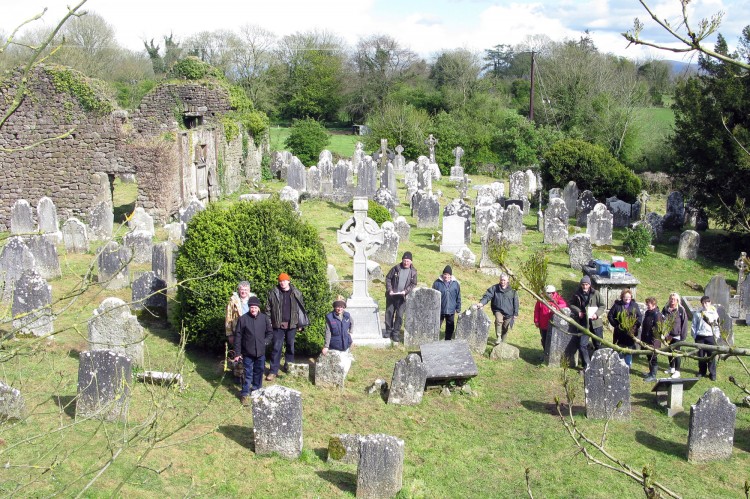 Grave YardGraveyard · 944 yd
 Church in BallynahinchChurch · 1639 yd
 Ballinvreena LoopVisitor information · 1757 yd
 Edmund's WellSpring · 1.2 mi
 Athneasy FortCastle, motte and bailey · 1.7 mi
 Castle (in ruins)Castle, tower house · 2.2 mi
 St Patrick's WellSpring · 2.3 mi
 SlievereaghMountain / peak · 2.4 mi
 Palatine's RockNamed rock · 3.3 mi
 Ballyhoura WayWalking route · 3.5 mi
Other information
Photo: Credit not shown in the picture search · Rights wording not checked; contact us if this picture should be removed