What is recorded here
Unlocated possible medieval settlement in the vicinity of Ballybrittan tower house (OF011-006----) which is depicted on the Down Survey (1655-6) maps (Loeber 1988, vol. 1, 33-4).
The above description is derived from the published 'Archaeological Inventory of County Offaly' (Dublin: Stationery Office, 1997). In certain instances the entries have been revised and updated in the light of recent research.
Date of upload: 23 May 2011
The monument record does not grant public access. Check the route and ask the landowner before entering private land.
- What survives
- Recorded monument
Places near here
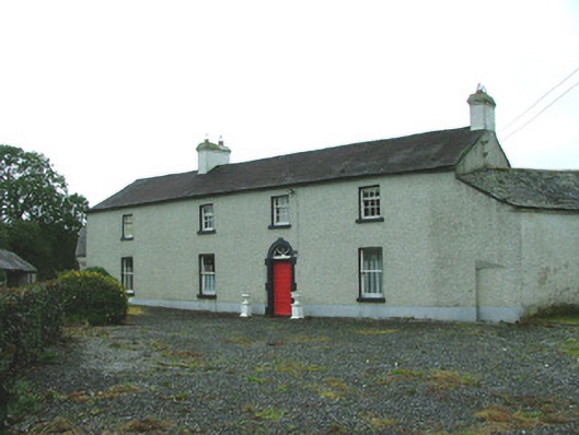 Ballybrittan Housefarm house · 482 yd
 Ballybrittan CastleCastle, tower house · 547 yd
 IndicatedHouse, 17th century · 555 yd
 Enclosure in ThomastownEnclosure · 1710 yd
 BarrowBarrow, ring-barrow · 1.2 mi
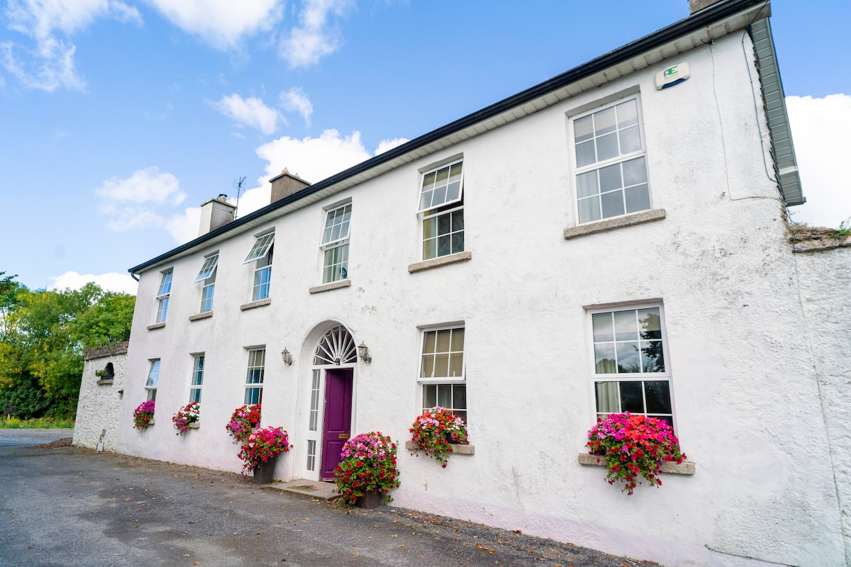 Ballyburly Ho.Castle, unclassified · 1.6 mi
 Victoria PlantationWood · 2.4 mi
 Holy PlantationForest · 2.4 mi
 Clonin EarthworksMountain / peak · 2.5 mi
 Moat HillMountain / peak · 3.6 mi
 Mountlucas Wind Farm Visitors CentreVisitor information · 5.3 mi
 Allen family memorial headstoneMemorial · 6.0 mi