What is recorded here
Unlocated village within OS sheet number 5 mentioned in 1571 Elizabethan land grant to Owen mac Hugh O'Dempsie although the Earle of Kildare does lay claim tot he villages of 'Ballycarroll, Ballyteighduffe, Ballyodin alias Boydonstowne, Dirryfunchin alias Dirryfunchior, Ballyorlade (Abhalghort) alias Orchardston (Ullard), Ballinurcher, Clomany and Kilmorhcil , as parcell of the said Earl's Manor of Leigh' (O'Flanagan 1933, vol. 2, p. 52). Townland of Ballyodin is now Ballyadding and is located on six six inch OS 6-inch map number 09.
In 2003 five trenches were dug by Matthew Seaver, for V. J. Keeley, under licence number 03E0185 at site 9 (Nat. Grid Ref. 25923; 20695), Ballyadding, to assess the significance of a cropmark. The trenches revealed field boundaries which appear on first edition of the OS 6-inch map and no other features of archaeological significance (Bennett 2006, 282).
Compiled by: Caimin O'Brien
Date of upload: 17 December 2007
The monument record does not grant public access. Check the route and ask the landowner before entering private land.
- What survives
- Recorded monument
Places near here
 Church (in Ruins), Grave Yd.Church · 40 yd
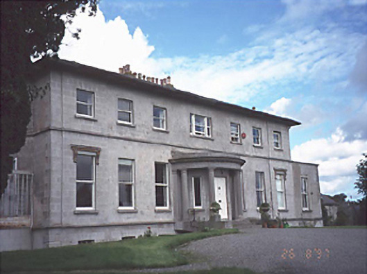 Rath Househouse · 890 yd
 Enclosure in BellegroveEnclosure · 936 yd
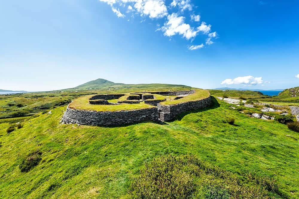 Enclosure in KilbrackanEnclosure · 1.1 mi
 OutlinedCastle, unclassified · 1.8 mi
 Dangan's WoodWood · 1.9 mi
 Wych ElmWych Elm · 2.2 mi
 Church (in Ruins), GraveyardChurch · 3.1 mi
 Emo CourtHeritage attraction · 3.4 mi
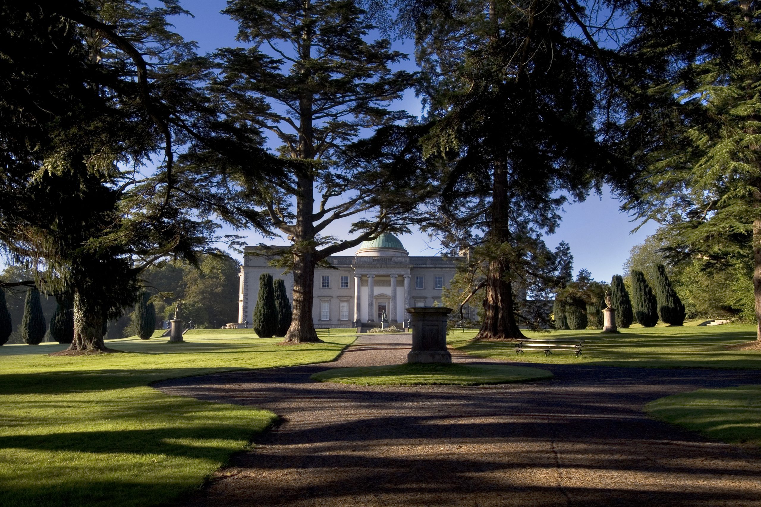 Site of CastleCastle, unclassified · 3.5 mi
 Bog Lake WalkWalking route · 5.6 mi
 Bog Oak WalkWalking route · 5.8 mi