What is recorded here
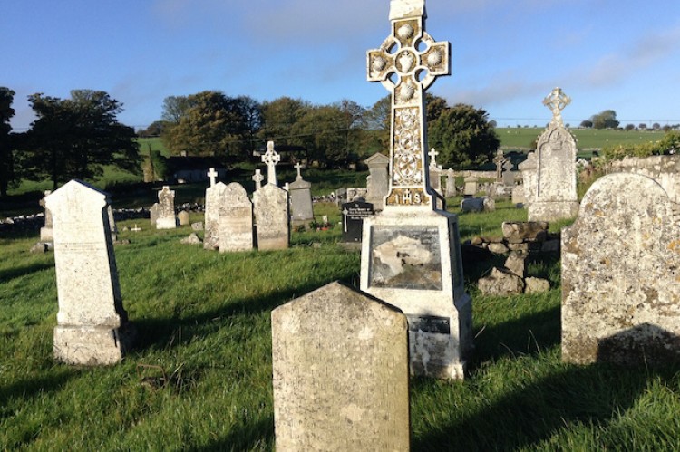
Houses representing the settlement of Kilbride in the townland of Kilbready that does not exist any more but was located at the E end of Ballinderry are marked on the Strafford map of Ballintober barony c. 1636 (Simington 1949, map b).
Compiled by: Michael Moore
Date of upload: 24 August 2010
The monument record does not grant public access. Check the route and ask the landowner before entering private land.
- What survives
- Recorded monument
Places near here
 Man-made underground passage in BallinderryMan-made underground passage · 298 yd
 AbbeyChurch · 346 yd
 Embanked enclosureFairy fort / earthen ringfort · 356 yd
 Leitrim CastleCastle, unclassified · 1.3 mi
 Grange AbbeyChurch · 2.5 mi
 CastleCastle, unclassified · 2.9 mi
 Roscommon CastleCastle · 4.6 mi
 Slieve BawnMountain / peak · 4.6 mi
 Doughill ForestForest · 5.0 mi
 Common LimeCommon Lime · 6.1 mi
 FerrinchIslet · 6.9 mi
 Ballyclare IslandIslet · 7.6 mi