
What is recorded here
Ballinaboy towne vanished beneath County Cork soil, leaving only a medieval church and local memory behind. Downe Survey mapped a cluster of small houses south of Owenboy river, yet no wall or road remains visible today. The village may have drowned in turf diggings, floodwater or forgotten livelihoods, but its absence still shapes the field east of Pound Cross Roads.
Downe Survey map shows cluster of small houses titled 'Ballinaboy towne' just S of Owenboy river. According to local tradition site of "old village" in field to E of 'Pound cross roads', close to medieval church (CO098-00202-). No visible surface trace. (Jan. 1991 - "According to owners of Ballinaboy House, the village was to the S of the house in field to E of Pound Cross Roads - Tuthills.")
The above description is derived from the published 'Archaeological Inventory of County Cork. Volume 2: East and South Cork' (Dublin: Stationery Office, 1994). In certain instances the entries have been revised and updated in the light of recent research.
Date of upload/revision: 14 January 2009
The monument record does not grant public access. Check the route and ask the landowner before entering private land.
- What survives
- Recorded monument
Places near here
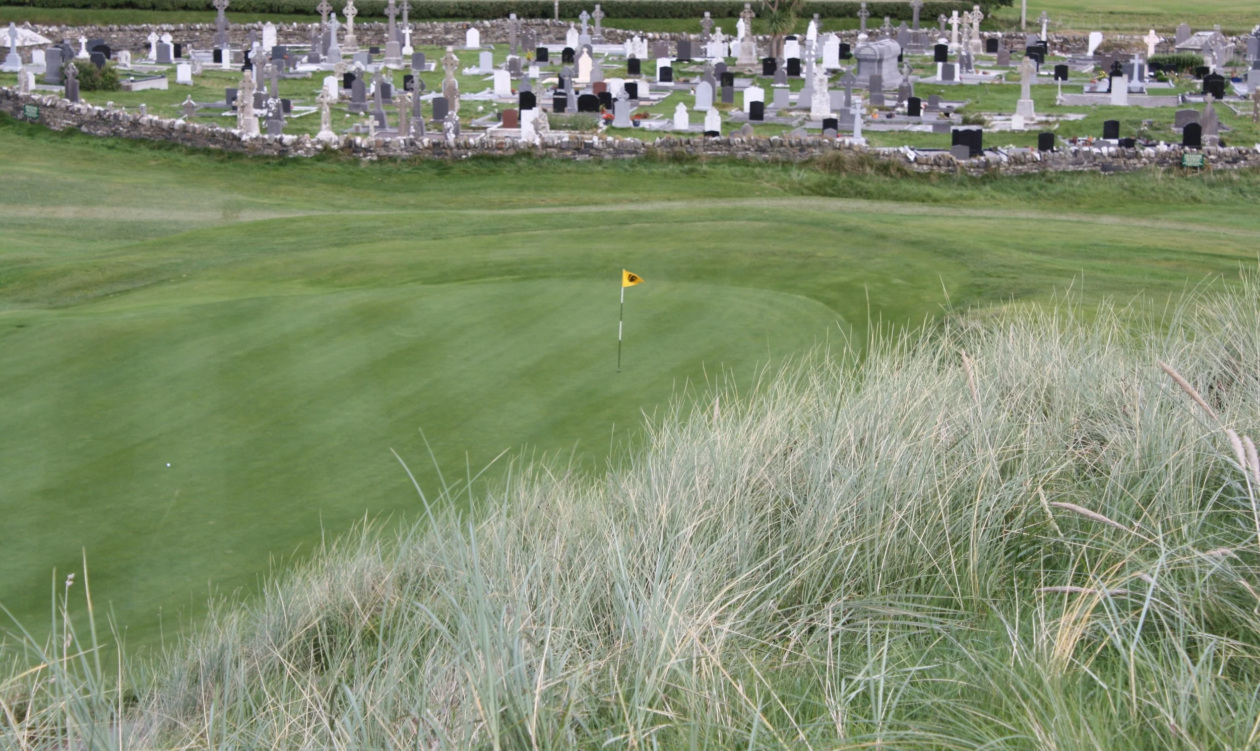 Grave YardGraveyard · 160 yd
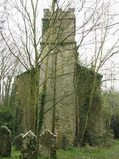 Ballinaboy Church of Ireland Churchchurch/chapel · 168 yd
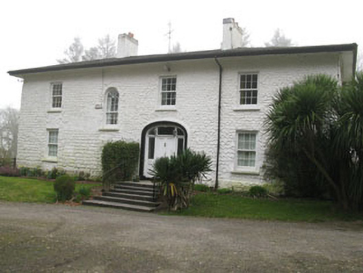 Ballinaboy Housecountry house · 312 yd
 Enclosure in BallinaboyEnclosure · 367 yd
 Sunday's WellSpring · 1.8 mi
 Rumley's Open FarmHeritage attraction · 1.9 mi
 Dinny Barry MemorialMemorial · 2.8 mi
 Curra WoodForest · 2.8 mi
 Manx2 Flight 7100aviation accident · 3.0 mi
 Meadstown Castle (Site of)Castle, unclassified · 3.2 mi
 St Laitiarain's WellSpring · 3.4 mi
 waterfallVisitor information · 3.4 mi
Other information
Photo: Credit not shown in the picture search · Rights wording not checked; contact us if this picture should be removed