What is recorded here
According to Bradley et al. (1986a, Vol. I, 23-4), there are no documentary references to Ardscull before the coming of the Normans, after which it’s likely that it became a borough of some importance. In 1282, it was noted that William de Mohun had held Ardscull until his death and that there were 160 burgesses there, as well as a mill and a church. Ardscull was burned in 1286 by Philip Stanton, and later, in 1316, Edward Bruce defeated the justiciar’s (chief governor of Ireland) army 2km N of Ardscull at Skerries. The precise location and extent of the borough is unknown: it’s likely to have been either in the vicinity of the church (KD035-012001-), graveyard (KD035-012004-), and very large, but levelled ecclesiastical enclosure (KD035-012002-), or near the fine motte (KD035-010001-) just over 1km to the NW; or possibly somewhere between the two.
Compiled by: Gearóid Conroy
Date of upload: 04 December 2013
The monument record does not grant public access. Check the route and ask the landowner before entering private land.
- What survives
- Recorded monument
Places near here
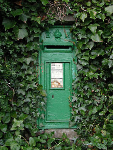 post boxpost box · 641 yd
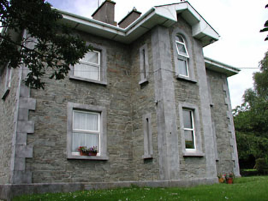 The GroveRIC barracks · 655 yd
 Gorden Bennet Race memorialMemorial · 737 yd
 European BeechEuropean Beech · 755 yd
 History of Moat of ArdscullVisitor information · 758 yd
 Ardscull MoatCastle, motte · 842 yd
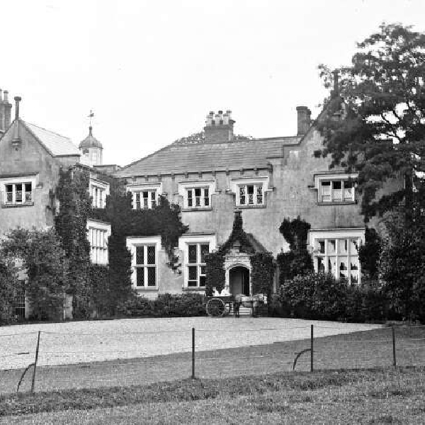 Enclosure in ArdscullEnclosure · 943 yd
 Enclosure in KilmeadEnclosure · 1349 yd
 Inch WoodForest · 1.2 mi
 Inch CastleCastle, tower house · 1.4 mi
 Burtown House and GardensHeritage attraction · 2.3 mi
 1798 memorialMemorial · 3.4 mi