What is recorded here
From the National Monuments Service (Archaeological Survey of Ireland) record DU018-054
This remains an important historical record, but the official description says the monument is no longer visible or has been destroyed. The monument record does not grant public access. Check the route and ask the landowner before entering private land.
- What survives
- No visible remains or recorded as destroyed
Places near here
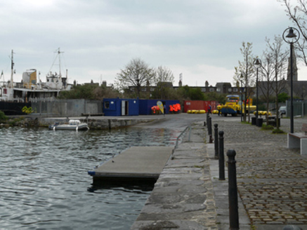 dry dock773 yd
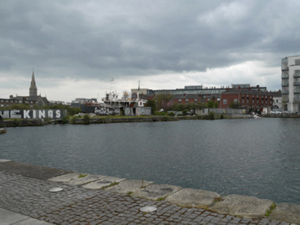 dry dock773 yd
 Grand Canal DocksVisitor information · 827 yd
 Sandymount StrandBeach / strand · 925 yd
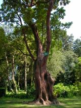 Hybrid strawberry tree990 yd
.jpg/250px-National_Print_Museum_(6499965719).jpg "Photo: Miguel Mendez from Malahide, Ireland, Wikimedia Commons · CC BY 2.0") National Print MuseumMuseum · 1077 yd
National Print MuseumMuseum · 1077 yd_REF-105756_(18975301622).jpg/250px-IN_MEMORY_OF_MICHAEL_MALONE_(EASTER_RISING_1916)_REF-105756_(18975301622).jpg "Photo: William Murphy from Dublin, Ireland, Wikimedia Commons · CC BY-SA 2.0") Lieutenant Michael MaloneMemorial · 1244 yd
Lieutenant Michael MaloneMemorial · 1244 yd Dublin Port Diving Bell and Visitors CentreHeritage attraction · 1475 yd
 Sandymount StrandBeach / strand · 1646 yd
 Samuel Beckett BridgeVisitor information · 1680 yd
 Saint Broc's WellSpring · 1756 yd
Pictures: National Inventory of Architectural Heritage; Eric Jones, Geograph · CC BY-SA 2.0; Doug Lee, Geograph · CC BY-SA 2.0; Pymouss44, Wikimedia Commons · CC BY-SA 3.0; Miguel Mendez from Malahide, Ireland, Wikimedia Commons · CC BY 2.0; William Murphy from Dublin, Ireland, Wikimedia Commons · CC BY-SA 2.0; Rossographer, Geograph · CC BY-SA 2.0; Sarah777 at en.wikipedia, Wikimedia Commons · Public domain; A.-K. D., Wikimedia Commons · CC BY-SA 4.0
More archaeology and monuments in County Dublin · All of County Dublin
What do you know about this place?