What is recorded here
The Down Survey (1655-6) Barony map shows a cluster of three houses in Marino townland. These probably represent the mid-17th century settlement of the area and may indicate a fishing village. A stone-built milking parlour, of late 17th-century appearance and featuring a Dutch gable, was recorded in Marino Farm (CO075-074----) in 1992. However, this, along with the other buildings on the farm, had been demolished by 2001.
The above description is derived from 'The Archaeological Inventory of County Cork. Volume 5' (Dublin: Stationery Office, 2009).
Date of upload: 22 December 2009
The monument record does not grant public access. Check the route and ask the landowner before entering private land.
- What survives
- Recorded monument
Places near here
 Marino FarmBuilding · 752 yd
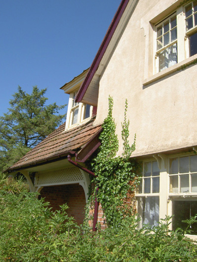 Donegal Villahouse · 1041 yd
 Marino PointHeadland · 1381 yd
 Martello TowerMartello tower · 1446 yd
 Sunday WellHoly well · 1486 yd
 Belvelly Castle (in Ruins)Castle, tower house · 1516 yd
 Belvelly CastleCastle · 1537 yd
 Japanese cedarJapanese cedar · 1.0 mi
 Passage West Maritime MuseumMuseum · 1.1 mi
 Cobh CemeteryGraveyard · 1.2 mi
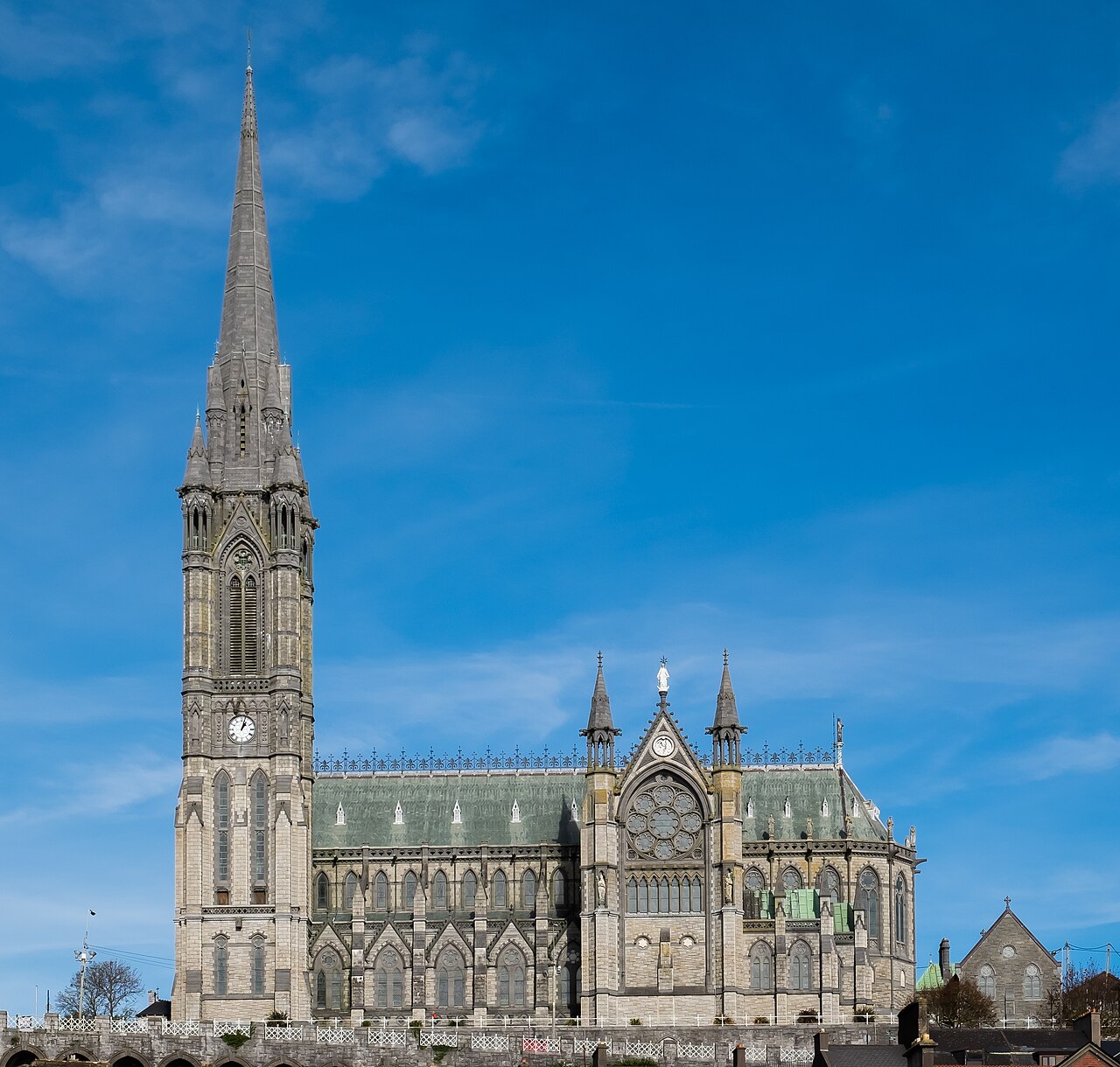 Saint Colman's Cathedral, CobhCathedral · 2.0 mi
 Cobh Tourist OfficeVisitor information · 2.0 mi