What is recorded here
A place called an Seana Shráid, or the old street, at Kilronan (Power 1952, 372) could be interpreted as a village. It remains unlocated.
Power, Rev. P. (1952) The placenames of the Decies. (second ed.) Cork University Press.
Compiled by: Michael Moore
Date of upload: 06 January 2011
The monument record does not grant public access. Check the route and ask the landowner before entering private land.
- What survives
- Recorded monument
Places near here
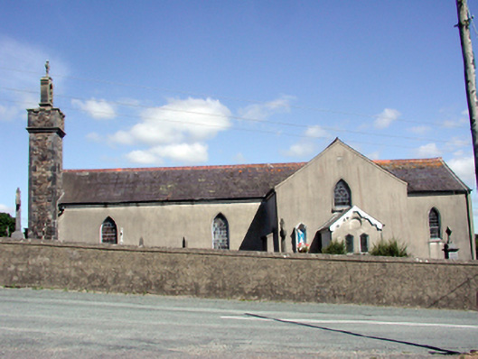 Catholic Church of the Nativity of the Blessed Virgin Marychurch/chapel · 1046 yd
 Embanked enclosueFairy fort / earthen ringfort · 1123 yd
 Sugar Loaf RockMountain / peak · 1250 yd
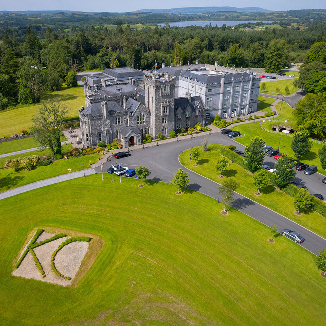 IndicatedEnclosure · 1267 yd
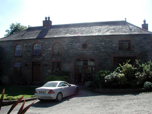 Butlerstown Castleoutbuilding · 1407 yd
 Mote or TumulusCastle, motte · 1.5 mi
 Cullen Castle (in ruins)Castle, tower house · 2.0 mi
 Mount Congreve GardensHeritage attraction · 2.1 mi
 Monterey CypressMonterey Cypress · 2.3 mi
 Sweet micheliaSweet michelia · 2.3 mi
 Waterford & Suir Valley RailwayHeritage attraction · 3.3 mi
 Ballyscanlon HillMountain / peak · 3.7 mi