What is recorded here
Concentric banks still mark the edge of a lost cluster above the Nore valley, while roads and house foundations were last seen before the field was levelled around 1947. The place stands at the meeting of memory and measurement: local witness gives it streets, satellite lines give it shape, and the land keeps both without explaining itself.
On the NE edge of a plateau looking down over a steep slope to the floor of the Nore river valley, in rolling grassland. According to local knowledge, 'roads and house foundations could be seen' in this field before being levelled c. 1947. On satellite imagery (Google Earth, 27 January 2019) two concentric slightly curving banks (L c. 160m; c. 20m apart) are visible.
Compiled by: Jean Farrelly
Date of upload: 17 June 2020
The monument record does not grant public access. Check the route and ask the landowner before entering private land.
- What survives
- Recorded monument
Places near here
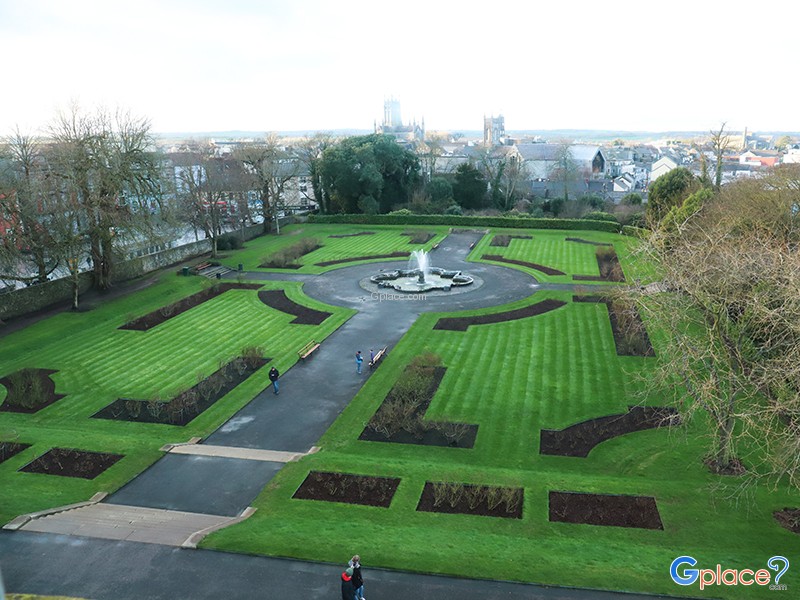 Enclosure in Keatingstown (crannagh By.)Enclosure · 898 yd
 Castle (in ruins)Castle, unclassified · 904 yd
 Enclosure in Dunmore WestEnclosure · 1752 yd
 Church in KillareeChurch · 1.1 mi
 The RockCastle, ringwork · 1.1 mi
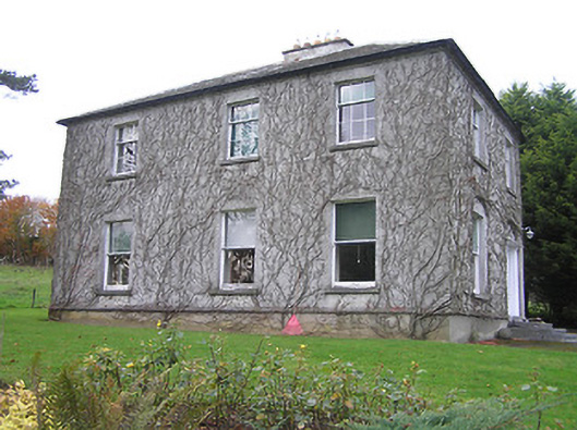 Troyswood Househouse · 1.1 mi
 Turkey OakTurkey Oak · 1.5 mi
 Rock WoodWood · 1.8 mi
 Graveyard in ThreecastlesGraveyard · 1.8 mi
 Lady DesartMemorial · 1.9 mi
 HedgerowVisitor information · 3.7 mi
 WelcomeVisitor information · 3.7 mi