What is recorded here
According to Power (1952, 361) there was a field at Islandtarsney called 'an Sráidín' - the little street, suggesting a settlement. It remains unlocated.
Power, Rev. P. (1952) The placenames of the Decies. (second ed.) Cork University Press.
Compiled by: Michael Moore
Date of upload/revision: 27 May 2011
The monument record does not grant public access. Check the route and ask the landowner before entering private land.
- What survives
- Recorded monument
Places near here
 IndicatedEnclosure · 1250 yd
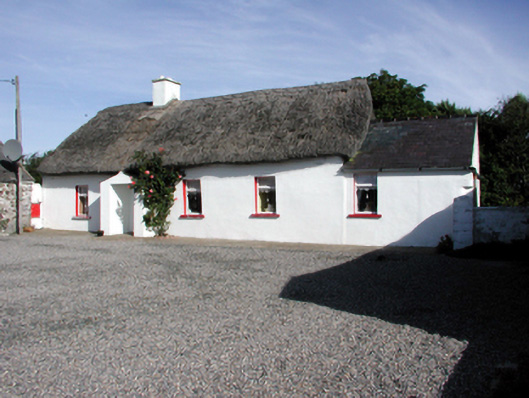 Historic buildingOfficially recorded historic building · 1403 yd
 Site of FortFairy fort / earthen ringfort · 1437 yd
 Garrarus StrandBeach / strand · 1.1 mi
 Catholic Church of the Immaculate ConceptionOfficially recorded historic building · 1.2 mi
 Ballyscanlon HillMountain / peak · 1.3 mi
 Fenor BogNature reserve · 1.3 mi
 Newtown WoodsWood · 1.6 mi
 Kilfarrasy BeachBeach / strand · 1.6 mi
 The Metal ManHeritage attraction · 1.7 mi
 Doneraile WalkWalking route · 2.0 mi
 Cannon GunBattlefield · 2.2 mi