What is recorded here
In flat terrain in the lowlying river valley of the River Suir, on the S side of the modern village of Marlfield between the main E-W road and the C of I church and graveyard. A lidar survey (Steve Davis, UCD, 2006-10) in the vicinity of the C of I church and graveyard at Marlfield revealed a series of rectangular plots (total L N-S c. 300m; each plot L c. 100m E-W; Wth 30-35m), E of the N-S road to the church and N of the church avenue. There are a further 4 plots (L c. 170m N-S; Wth 30-35m), running N of the graveyard boundary. On the 1st (1840) ed. 6-inch OS map a row of houses is depicted running N-S, on the E of the N-S road to the church for 110m near the junction between this road and the main E-W road through Marlfield village.
Compiled by: Jean Farrelly
Date of upload: 28 May 2013
The monument record does not grant public access. Check the route and ask the landowner before entering private land.
- What survives
- Recorded monument
Places near here
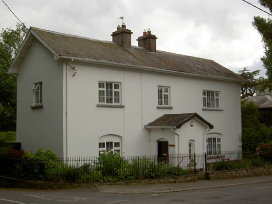 HazledeneRIC barracks · 213 yd
 Crusader's GraveHeritage attraction · 219 yd
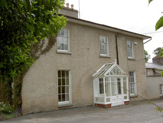 Inishlounaght Houserectory/glebe/vicarage/curate's house · 233 yd
 Common LimeCommon Lime · 591 yd
 European ashEuropean ash · 960 yd
 Greenan MoteEnclosure · 1163 yd
 Greenan Castle (in Ruins)House, fortified house · 1208 yd
 Site of Grave YardChurch · 1302 yd
 Kilmacomma HillMountain / peak · 1523 yd
 Toberaheena WellSpring · 1586 yd
 CastleCastle, ringwork · 1626 yd
 Siege of Clonmelsiege · 1.4 mi