What is recorded here
Castlehill held six houses in its southeast corner when surveyed in 1701, a small cluster compact enough to belong to one breath of valley life. The survey marked them as a settlement, not a scatter, suggesting neighbours close enough to share work, warning and story. They vanished from the exact ground before modern mapping, leaving only the possibility that ordinary people lived there boldly while the estate measured them from a distance.
This record refers to a cluster of six houses shown in the SE part of Castlehill townland on a 1701 ‘Trustees Survey’ estate map (NLI microfilm n. 645, p. 31). The exact location of the houses is unknown.
Compiled by: Jane O'Shaughnessy
Date of upload: 15 August 2019
The monument record does not grant public access. Check the route and ask the landowner before entering private land.
- What survives
- Recorded monument
Places near here
 IndicatedFairy fort / earthen ringfort · 155 yd
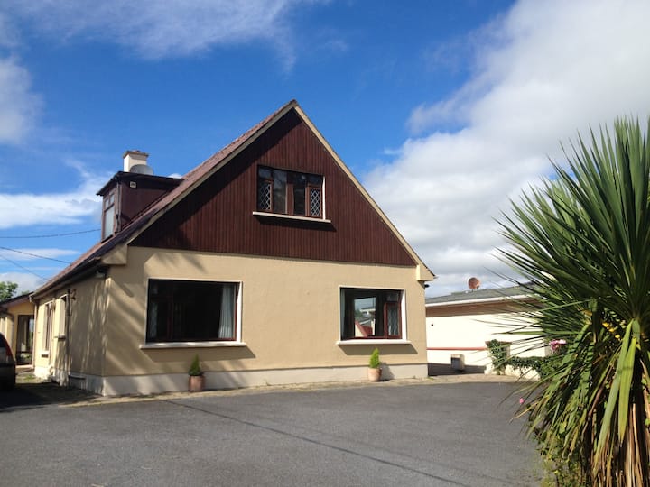 LisduffFairy fort / earthen ringfort · 194 yd
 CastleCastle, unclassified · 721 yd
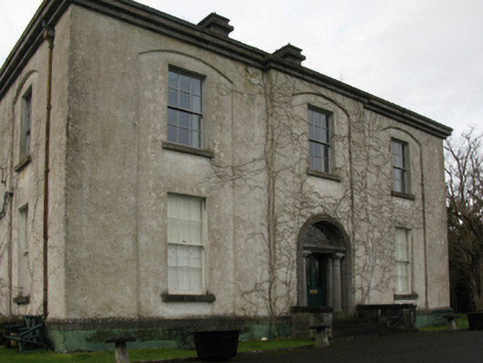 Castlehill Housefarm house · 740 yd
 Ballyduffy CastleCastle, unclassified · 1367 yd
 Titanic Memorial ParkMemorial · 1.3 mi
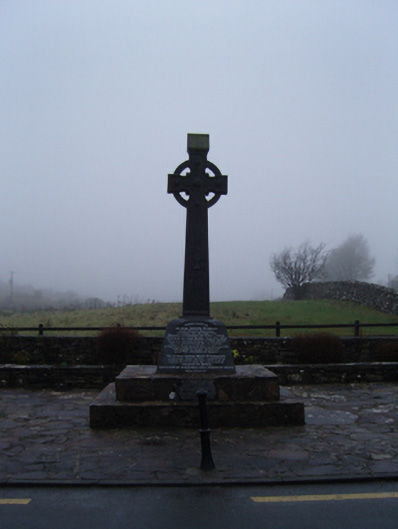 1798 Monumentmonument · 1.3 mi
 Castle IslandIslet · 1.8 mi
 Roe IslandIslet · 2.0 mi
 Grave of the KingsArchaeological place · 2.5 mi
 NephinMountain / peak · 3.2 mi
 FarbreigaMountain / peak · 6.3 mi