
What is recorded here
Indicated is a fairy fort in County Mayo, Ireland, holding a circular space roughly thirty-six metres across on a ridge above average pasture. Its low earth and stone bank still curves beneath a modern field wall, while an unexplained stony L-shaped area rests inside the SE quadrant. A farm road passes north of the ring, and cattle may still walk through the old boundary without knowing they are crossing a place set apart for another kind of life.
In average pasture, located on a NW–SE ridge.
Circular area (35.4m NE–SW; 37m NW–SE) enclosed at NNE–SW by a low earth and stone bank (Wth 2.6m; int. H 0.4m; ext. H 0.4m at S), levelled at SW–N to a low undulation. A modern field wall stands 2m outside the bank at NNE–SW, mirroring the curve of the rath; this wall is shown fully encircling the rath on the 1922 OS 6-inch map, but has since been removed on the W half. In the SE quadrant of the interior, there is a slightly raised, stony L-shaped area (c. 6m N–S; 6m E–W) defined on the E and S sides by a slight scarp. It function is unclear. A post and wire property fence, on NE–SW axis, centrally bisects the rath interior. A WNW–ESE farm road lies immediately to N of the rath.
Compiled by: Jane O'Shaughnessy
Date of upload: 13 August 2019
The monument record does not grant public access. Check the route and ask the landowner before entering private land.
- What survives
- Recorded monument
Places near here
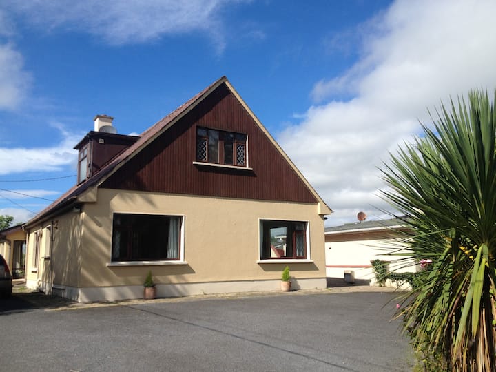 LisduffFairy fort / earthen ringfort · 313 yd
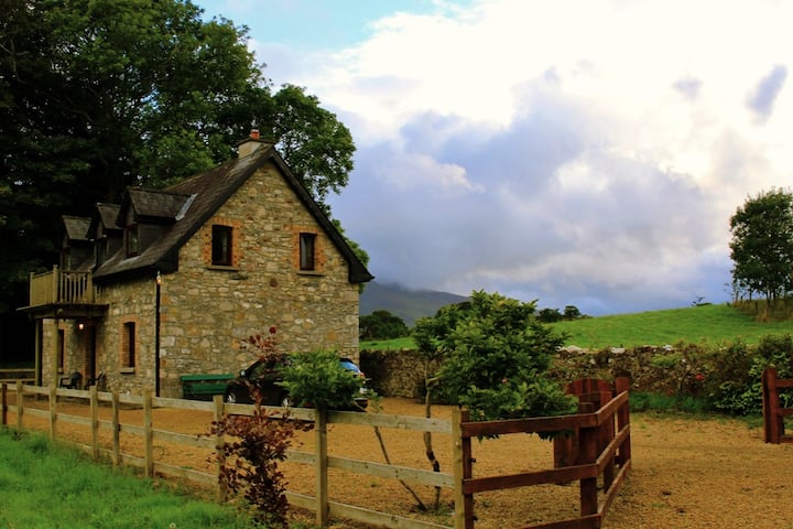 Enclosure in Castlehill (tirawley By., Crossmolina. Par.)Enclosure · 774 yd
 CastleCastle, unclassified · 875 yd
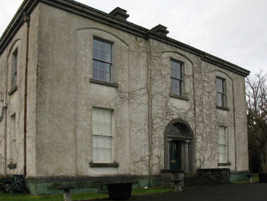 Castlehill Housefarm house · 894 yd
 Ballyduffy CastleCastle, unclassified · 1356 yd
 Titanic Memorial ParkMemorial · 1.4 mi
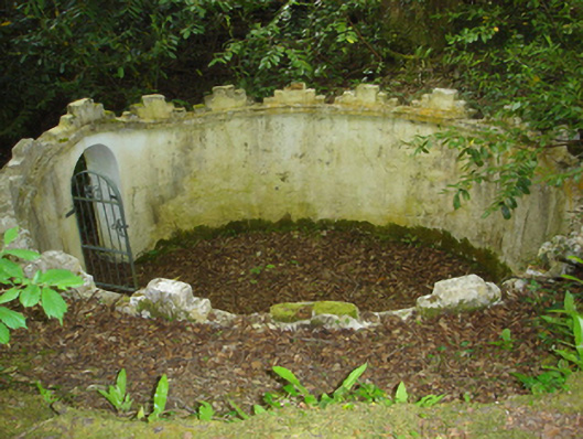 Enniscoe Housemausoleum · 1.4 mi
 Castle IslandIslet · 1.8 mi
 Roe IslandIslet · 2.0 mi
 Grave of the KingsArchaeological place · 2.4 mi
 NephinMountain / peak · 3.2 mi
 FarbreigaMountain / peak · 6.3 mi
Other information
Photo: Credit not shown in the picture search · Rights wording not checked; contact us if this picture should be removed