What is recorded here
In improved pasture, located on a low NW–SE gravel ridge with extensive views to N–SE.
This possible rath is named ‘Lisduff’ on the 1838 and 1922 OS 6-inch maps, where it is shown as a circular enclosure with trees planted in the interior. The E two thirds of the enclosure have been levelled, but the outline of the original circular area (c. 27m NE–SW; c. 28m NW–SE) can still be discerned.
The enclosing bank on the W arc is upstanding. It consists of a broadly slumped scarp (Wth 3.3m-c. 5m; ext. H 1.6m), topped with stones, and is largely obscured by dense overgrowth. Immediately outside this, and mirroring its curve, are tumbled remnants of stone-built field wall. At NNE–SSW the enclosing bank has been levelled, but its curving outline can still be traced as a slightly raised undulation, most clearly visible at NE and S–SSW, where it coincides with the ridge contours. A field fence, on a NE–SW axis, extends across the NW edge of the enclosure. There is a possible rath (MA038-122----)150m to NW, and an enclosure (MA038-123----)135m to SSW.
Compiled by: Jane O'Shaughnessy
Date of upload: 14 August 2019
Lisduff, also known as Castlehill, is a possible early-medieval ringfort located in improved pasture on a gravel ridge in Tirawley, County Mayo. The site, named on 19th-century Ordnance Survey maps, is associated with local folklore linking such forts to the mythical Tuatha Dé Danann or to fairy realms.
The monument record does not grant public access. Check the route and ask the landowner before entering private land.
- What survives
- Recorded monument
Places near here
 IndicatedFairy fort / earthen ringfort · 313 yd
 CastleCastle, unclassified · 646 yd
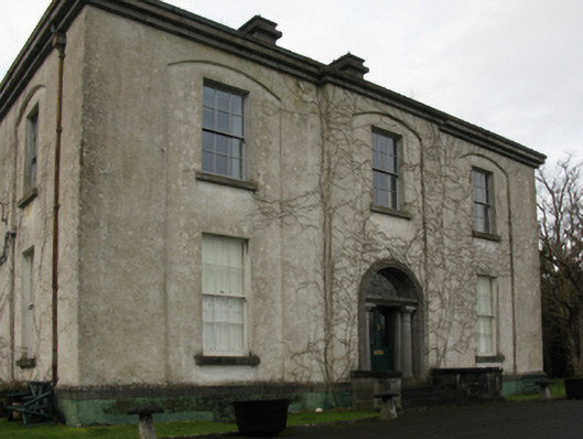 Castlehill Housefarm house · 662 yd
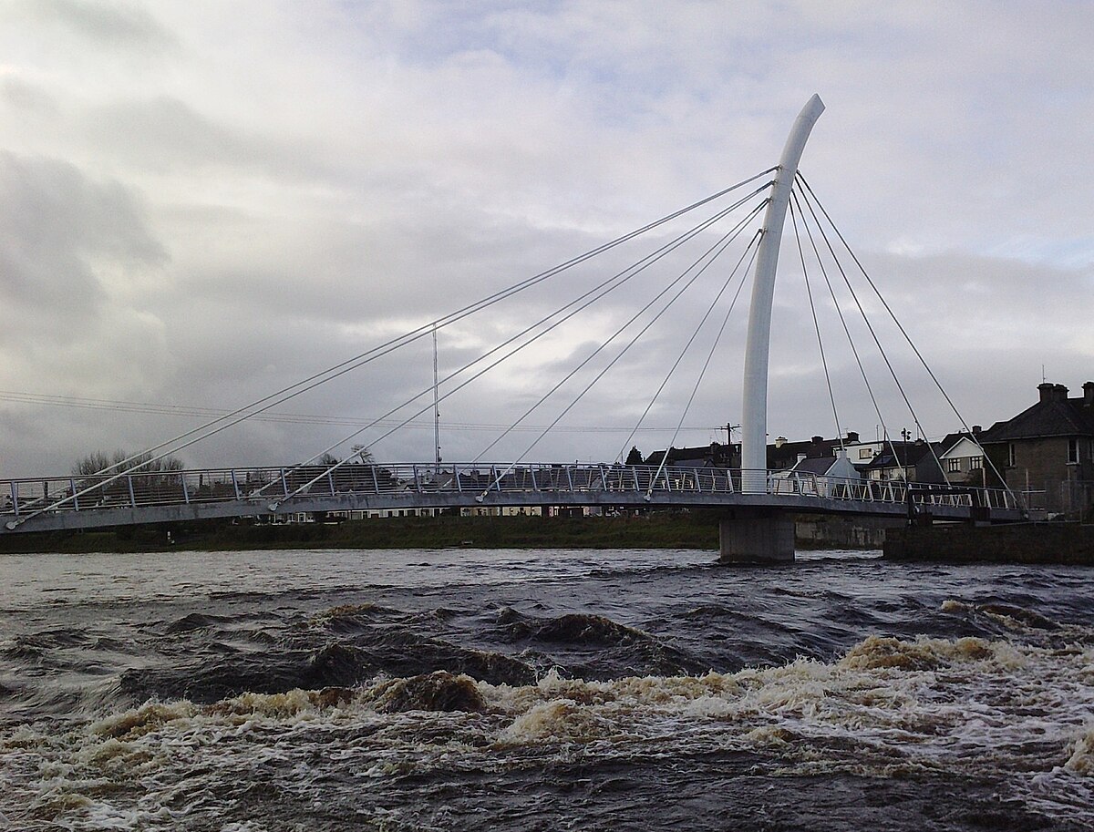 TobertiernanHoly well · 712 yd
 Ballyduffy CastleCastle, unclassified · 1539 yd
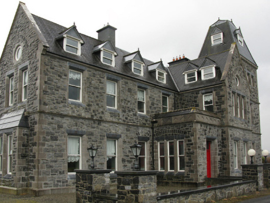 Errew Housecountry house · 1.3 mi
 Titanic Memorial ParkMemorial · 1.4 mi
 Castle IslandIslet · 1.7 mi
 Roe IslandIslet · 1.9 mi
 Grave of the KingsArchaeological place · 2.6 mi
 NephinMountain / peak · 3.3 mi
 FarbreigaMountain / peak · 6.3 mi
Other information
Photo: Credit not shown in the picture search · Rights wording not checked; contact us if this picture should be removed