What is recorded here
According to the Civil Survey (1654-6) in 1640 'Upon the sd lands stands the stump of a castle and some inclosures about the Village of CastleCoyne aforesd besett with quicksetts' (Simington 1931, vol. 1, 323). No traces of this settlement could be identified and as the exact location of the settlement is unknown it is unlocated within the townland.
Compiled by: Jean Farrelly
Date of upload: 26 August 2011
The monument record does not grant public access. Check the route and ask the landowner before entering private land.
- What survives
- Recorded monument
Places near here
 Bawn in CastlecoyneBawn · 61 yd
 Short Castle (in ruins)Castle, tower house · 459 yd
 Mortlestown Church (in ruins)Church · 498 yd
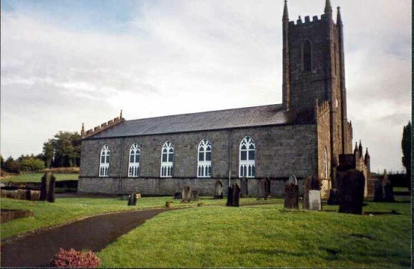 Ballylegan Church (in ruins)Church · 1399 yd
 RathardFairy fort / earthen ringfort · 1.1 mi
 Enclosure in Knockagh (caher Par.)Enclosure · 1.1 mi
 Caher AbbeyHeritage attraction · 2.8 mi
 Siege of Cahir Castlesiege · 2.9 miCahir CastleHeritage attraction · 2.9 mi
 European YewEuropean Yew · 3.7 mi
 Cottagehill WoodForest · 3.7 mi
 Woodcock HillMountain / peak · 5.1 mi