What is recorded here
Carrigaline East and Middle mark a lost town on the north bank of the Owenboy River, drawn on the Down Survey in 1655-6 beside Carrigaline Castle, its church and a bridge. The modern town sits one kilometre west and upriver, pushing the older settlement out of everyday sight. Buildings, a road and a river crossing may have filled that place before Carrigaline moved on, leaving behind a name and a ghost of streets.
On the N bank of the Owenboy River. 'Carrigoline town' is named and depicted as a number of buildings on the Down Survey (1655-6) Barony map . It is shown in the vicinity of Carrigaline Castle (CO087-037----) and church (CO087-036002-) and to the E of a bridge (CO087-157----). The modern day Carrigaline town is c. 1km to the W and upriver from the medieval settlement.
The above description is derived from 'The Archaeological Inventory of County Cork. Volume 5' (Dublin: Stationery Office, 2009).
Date of upload: 22 December 2009
The monument record does not grant public access. Check the route and ask the landowner before entering private land.
- What survives
- Recorded monument
Places near here
 Man-made underground passage in Carrigaline MiddleMan-made underground passage · 374 yd
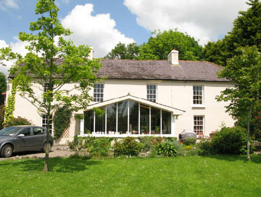 Rock Househouse · 448 yd
 Cogan's CastleCastle · 595 yd
 Font in Carrigaline MiddleFont · 675 yd
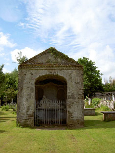 Saint Mary's Church (Carrigaline)mausoleum · 676 yd
 Castle (in Ruins)Castle, tower house · 2.1 mi
 Coolmore WoodWood · 2.2 mi
 Pauper's GraveyardArchaeological place · 2.7 mi
 Be Framed Fine Art GalleryGallery · 4.7 mi
 Goat IslandIslet · 4.8 mi
 Graveyard in CurraghconwayGraveyard · 4.9 mi
 Vernon Mount ViewViewpoint · 5.3 mi