What is recorded here
On the N-facing slopes of Spinans Hill, outside the N rampart of the large contour fort (WI027-078001-/WI021-080001-). Settlement comprising enclosures, hut sites and field walls are evident on aerial photography covering an area c. 320m x 145m. (Condit 1992, 16-20)
Compiled by: Mary Tunney
Date of upload: 11 December 2012
The monument record does not grant public access. Check the route and ask the landowner before entering private land.
- What survives
- Recorded monument
Places near here
 Hillfort in Ballyhubbock Upper,brusselstown,castlequarter,castlesallagh,coolamaddra,eadestown Hill,moorstown (talbotstown Upper By.),spinans East,spinans Hill,spinans MiddleHillfort · 436 yd
 Brusselstown RingHillfort · 493 yd
 Castle in ruinsCastle, unclassified · 1397 yd
 Saint Brigit's ChairNamed rock · 1728 yd
 Saint Brigit's Mass StoneNamed rock · 1.1 mi
 Site of CastleCastle, unclassified · 1.3 mi
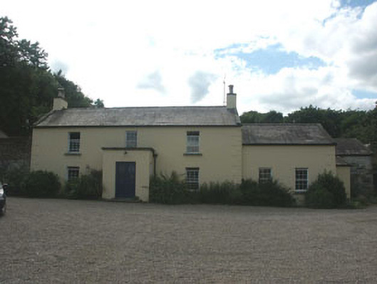 Mount Slaneyfarm house · 1.3 mi
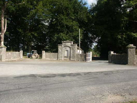 Kilranelagh Housegate lodge · 1.5 mi
 Sam McAllistair GraveMemorial · 1.5 mi
 Keadeen MountainMountain / peak · 1.9 mi
 Dwyer McAllister CottageMuseum · 2.3 mi
 English hollyEnglish holly · 2.5 mi