What is recorded here
According to Carrigan (1905, vol. 2, 366), 'Boher Kierawn, or St. Kieran's Road, came from the direction of Fertagh through "Awrdtineen hill" field, by Borrismore church [KK012-009----], by the old town of Borrismore (situated south of Wilton House, where its foundations are still traceable), and thence by the site of the old church of Rathealy [KK013-060001-]'. When visited in 1987 there was no visible trace of any earthworks at ground level, though according to local information earthworks had been visible SW of Wilton House. This settlement may relate to the settlement (KK012-063002-), 'at Borismore' described as a 'Thatcht Chimney house and Cabbins' in the Down Survey (1655-6) terrier accompanying the parish map of Urlingford. The precise location and extent of this settlement is unknown within the townland.
This remains an important historical record, but the official description says the monument is no longer visible or has been destroyed. The monument record does not grant public access. Check the route and ask the landowner before entering private land.
- What survives
- No visible remains or recorded as destroyed
Places near here
 Ardaneena Church (in ruins)Church · 446 yd
 Enclosure in Donaghmore LowerEnclosure · 1276 yd
 Belle Vue Househouse · 1281 yd
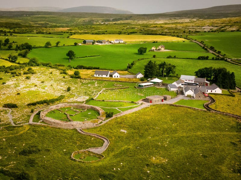 Borrismore Ringfort (Rath)Archaeological place · 1520 yd
 CastleCastle, tower house · 1549 yd
 Black CastleCastle, hall-house · 1.6 mi
 John HelyMemorial · 1.7 mi
 DelaneyMemorial · 1.9 mi
 Clomantagh HillMountain / peak · 1.9 mi
 Kildrinagh WoodForest · 3.1 mi
 Deerpark WoodWood · 4.3 mi
 Anker's IslandIsland · 10.0 mi