What is recorded here
Situated on a gentle E to SE-facing slope. Two subrectangular house foundations (dims. 9m x 5m, and 8m x 6m) defined by earth and stone banks (Wth 1.5m; H 0.4m). The first is bisected by the NW boundary of a later irregular enclosure (dims. 30m x 15m) which is open to the SE. The second house occurs immediately N of the first. To the NW of the houses is a rectangular field with traces of ridge and furrow cultivation defined by low banks. Part of a second field survives to the SW and there are extensive, apparently unenclosed, areas of cultivation upslope to the W. (Information P. Healy)
The above description is derived from the published 'Archaeological Inventory of County Wicklow' (Dublin: Stationery Office, 1997). In certain instances the entries have been revised and updated in the light of recent research.
Date of upload/revision: 17 December 2008
The monument record does not grant public access. Check the route and ask the landowner before entering private land.
- What survives
- Recorded monument
Places near here
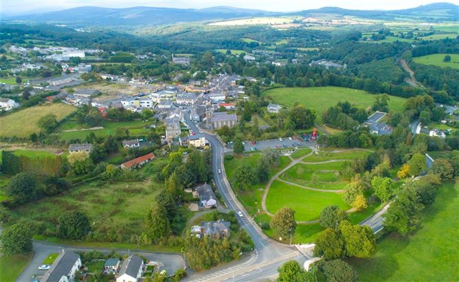 Enclosure in Ballyremon CommonsEnclosure · 268 yd
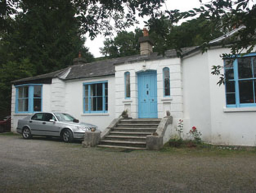 Valclusahouse · 1632 yd
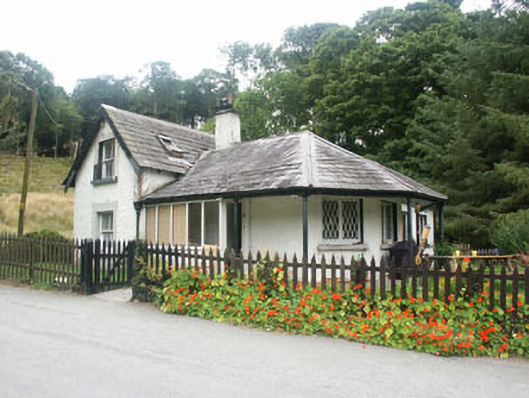 gate lodgegate lodge · 1729 yd
 Great SugarloafMountain / peak · 1.1 mi
 Deerpark TrailWalking route · 1.2 mi
 Great Sugar LoafMountain · 1.2 mi
 The Sugar Loaf WayWalking route · 1.3 mi
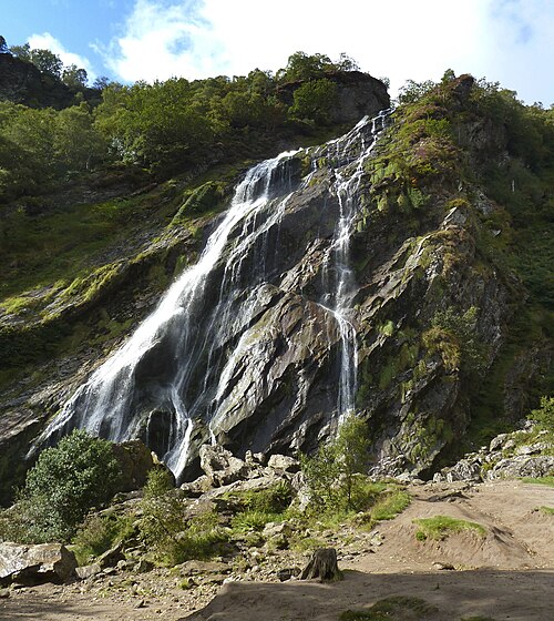 Powerscourt WaterfallWaterfall · 1.5 mi
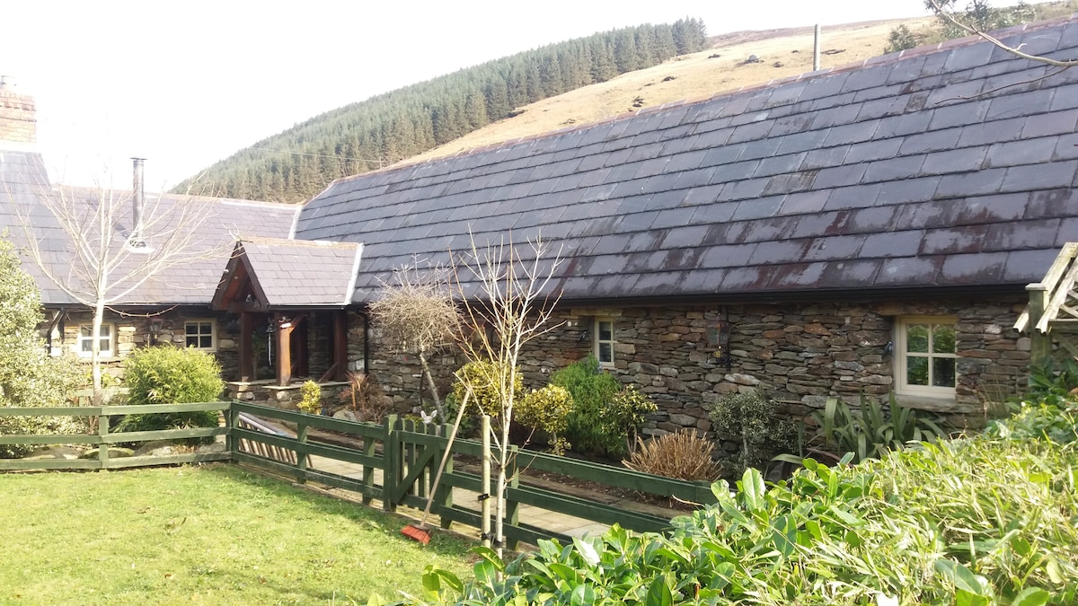 Enclosure in GlasnamullenEnclosure · 1.7 mi
 Monkey-puzzleMonkey-puzzle · 1.7 mi
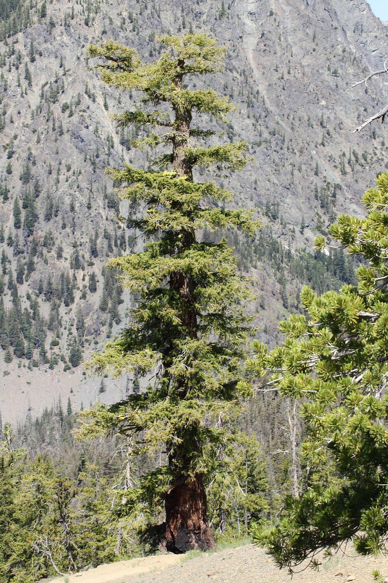 Douglas-firDouglas-fir · 1.8 mi
 Johnny Fox's MemorialMemorial · 2.2 mi