What is recorded here
Reference to a settlement in Loeber 1991, map. Nothing on the Strafford map of c. 1636 (Simington 1949). It was not encountered.
Compiled by: Michael Moore
Date of upload: 24 August 2010
The monument record does not grant public access. Check the route and ask the landowner before entering private land.
- What survives
- Recorded monument
Places near here
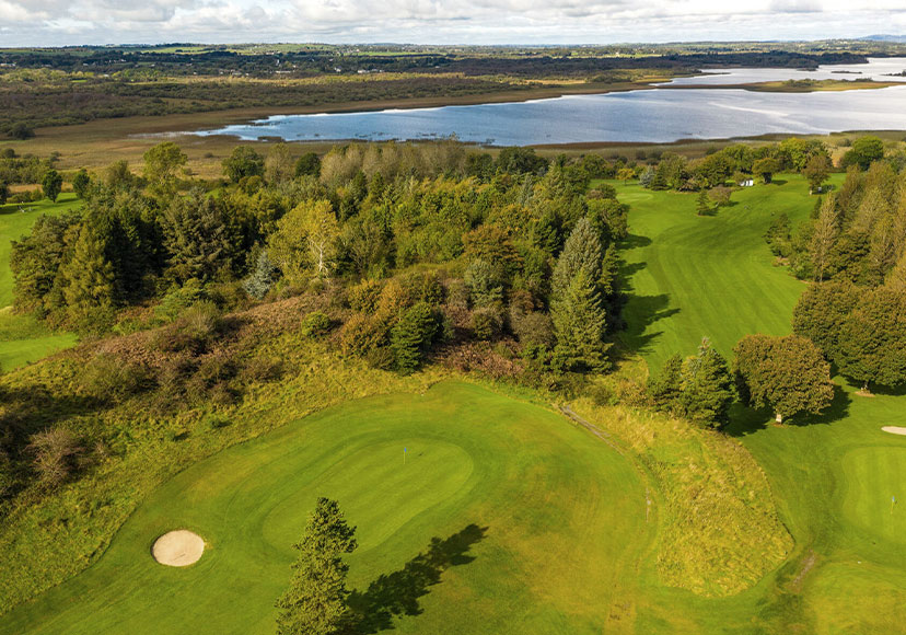 Embanked enclosureFairy fort / earthen ringfort · 693 yd
 IndicatedFairy fort / earthen ringfort · 704 yd
 Ballymurray ForestForest · 1312 yd
 Lower WoodForest · 1369 yd
 Mote Parkdemesne walls/gates/railings · 1620 yd
 Hangman's HillMountain / peak · 1.7 mi
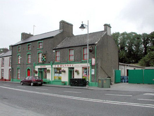 J.S. Murrayhouse · 1.9 mi
 CastleCastle, unclassified · 2.3 mi
 Galey CastleCastle, tower house · 2.7 mi
 Cruit BayBay · 2.8 mi
 Galey BayBay · 2.9 mi
 Sedgy IslandIslet · 3.6 mi