
What is recorded here
On the floodplain of the Hind river, c. 50m from its canalised S bank. D-shaped grass-covered area (dims 32.3m NW-SE; 12m NE-SW) defined by an overgrown earthen bank (Wth of base 4m; Wth of top 1m; int. H 0.8m; ext. H 2m) SSW-W, reduced to a low scarp SSE-SSW and W-NW, accompanied by a flat-bottomed fosse (Wth of top 5m; Wth of base 2m; D 0.8m) S-W. It is truncated by a WNW-ESE railway to the N and by a field bank at E. There is no identifiable original entrance.
Compiled by: Michael Moore
Date of upload: 24 August 2010
A local fairy fort (ringfort/rath); wider significance not recorded.
The monument record does not grant public access. Check the route and ask the landowner before entering private land.
- What survives
- Recorded monument
Places near here
 Lower WoodForest · 1112 yd
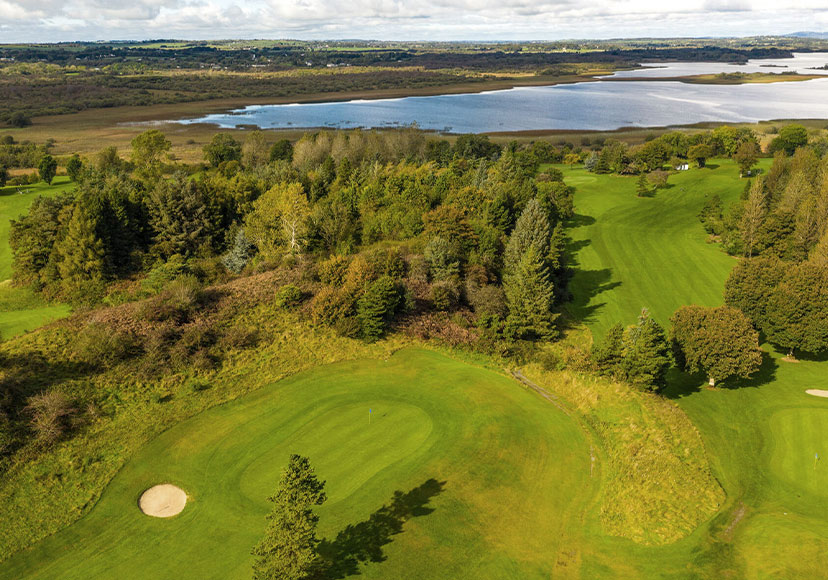 Embanked enclosureFairy fort / earthen ringfort · 1206 yd
 Pedunculate OakPedunculate Oak · 1400 yd
 Sweat Ho.Sweathouse · 1.1 mi
 Mote Parkdemesne walls/gates/railings · 1.1 mi
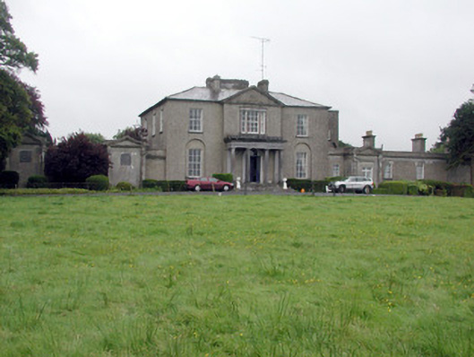 Carrowroe Parkcountry house · 1.8 mi
 Hangman's HillMountain / peak · 2.1 mi
 Cruit BayBay · 2.9 mi
 Galey CastleCastle, tower house · 3.0 mi
 Galey BayBay · 3.1 mi
 Roscommon CastleCastle · 3.6 mi
 Sedgy IslandIslet · 3.7 mi
Other information
Photo: Credit not shown in the picture search · Rights wording not checked; contact us if this picture should be removed