What is recorded here
The terriers of the Down Survey parish maps (1655-6) mention 'Ballinure whereon stand a Ruined Church and some Cabbins'. The Down Survey map depicts 3 dwellings clustered to the north of the church (TS053-051001-). These dwellings, while in the vicinity of the medieval church and modern village of Ballinure, could not be accurately located, so remain unlocated within the townlands of Ballinure and Noan.
Compiled by: Jean Farrelly
Date of upload: 26 August 2011
The monument record does not grant public access. Check the route and ask the landowner before entering private land.
- What survives
- Recorded monument
Places near here
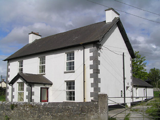 Ballinure Garda Síochána Stationgarda station/constabulary barracks · 439 yd
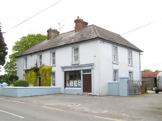 M. Dwyerhouse · 464 yd
 Noan WoodWood · 1143 yd
 Taylor's WoodWood · 1642 yd
 Hilltop enclosure in Ballaghboy (graystown Par.)Hilltop enclosure · 1650 yd
 IndicatedFairy fort / earthen ringfort · 1754 yd
 Ballinure HillMountain / peak · 1.0 mi
 Grallagh CastleCastle · 1.9 mi
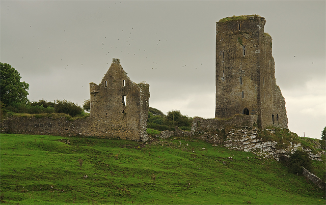 Bawn in GraystownBawn · 2.1 mi
 Gobban Saer's GraveArchaeological place · 2.5 mi
 Horse and JockeyVisitor information · 3.1 mi
 Gift Horse GalleryGallery · 3.4 mi