
What is recorded here
From OpenStreetMap (© OpenStreetMap contributors) n8958093360
Places near here
Photo credits
- Alf Harvey / Laois Nationalist, www.laois-nationalist.ie
- Mike Searle, Geograph · Creative Commons Attribution-ShareAlike 2.0
- Maker not stated on source page, www.joinmychurch.com
- National Inventory of Architectural Heritage
- Darrin Antrobus, Geograph · CC BY-SA 2.0
- Sarah777, Wikimedia Commons · CC BY-SA 2.0
- Maker not stated on source page, www.rte.ie
- Maker not stated on source page, www.laoistoday.ie
- Maker not stated on source page, monumentalireland.ie
- Maker not stated on source page, www.discoverireland.ie
- Maker not stated on source page, www.pinterest.fr
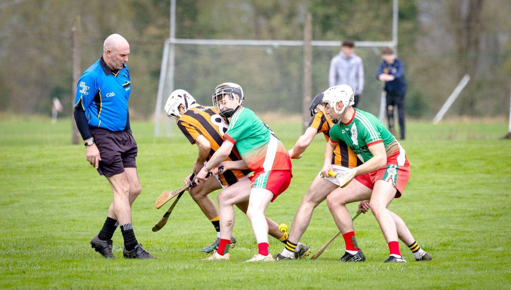 O'Keefe Park, Borris in OssoryGAA ground · 1020 yd
 Derrin Castle (in ruins)Castle · 1290 yd
Explorer Tom Derrin Castle would have 'I Tried My Best' written on its tombstone if it could choose its own epitaph and font style.…
 Church (Site of)Church · 1698 yd
Explorer Tom Church in Knockseera has a curse that only affects people who don't wave at the bush. St Kieran’s bush is still there…
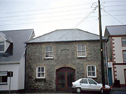 Borris in Ossory Market HouseMarket house · 1.0 mi
Explorer Tom Borris in Ossory Market House has an imaginary fan club that meets every Tuesday to discuss potato prices. It used to…
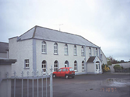 school1.1 mi
Explorer Tom School in Townparks bragged about surviving a storm that actually only hit its conservatory, but it told everyone it…
 Borris in Ossory CourthouseCourt house · 1.2 mi
Explorer Tom Borris in Ossory Courthouse had a massive feud over who owned the best view of the broken windows. Now it’s a council…
 Saint Mark's Church (Aghaboe)Church/chapel · 1.2 mi
Explorer Tom Saint Mark's Church in Townparks is Hiberno Romanesque, which just means it looks like a castle that gave up halfway.…
 Kilcotton GAA pitchGAA ground · 1.3 mi
 Graveyard in MondrehidGraveyard · 1.6 mi
Explorer Tom Graveyard in Mondrehid holds the world record for being invisible on every map ever drawn. It sits low and quiet while…
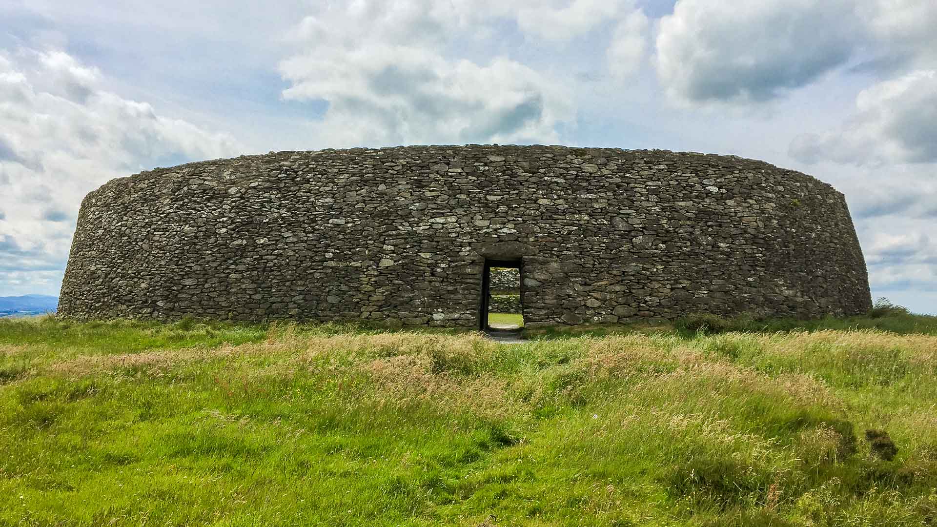 Fairy fort / earthen ringfort in ManninFairy fort / earthen ringfort · 2.0 mi
Explorer Tom Fairy fort / earthen ringfort in Mannin is currently losing a staring contest with the nearest tree. The bank is gone…
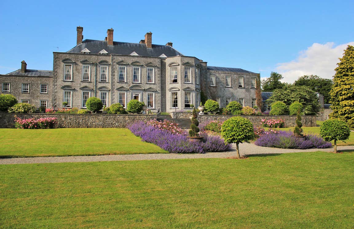 CastleCastle, motte · 2.4 mi
Explorer Tom Peafield’s motte handles nosy neighbours by just being a really big, confusing bump in a gravel ridge. Monsignor Tyan…
 Kyle GraveyardGraveyard · 2.6 mi
Explorer Tom The sheep at Kyle Graveyard think it’s their personal lounge area and they’re not taking no for an answer. They’ve…
More mountains and hills in County Laois · All of County Laois

What do you know about this place?Tap to add a comment or ask a question