
What is recorded here
Scuthvie Bay is a historic event in Orkney Islands, Scotland.
Places near here
Picture notes
- Computer-made picture. It does not show this monument.
- J M Briscoe, Wikimedia Commons · CC BY-SA 2.0
- Alan Reid, Wikimedia Commons · CC BY-SA 2.0
- Richard Webb, Wikimedia Commons · CC BY-SA 2.0
- Ian Balcombe, Wikimedia Commons · CC BY-SA 2.0
- Beth Loft, Wikimedia Commons · CC BY-SA 2.0
- Computer-made picture. It does not show this playground.
 Sanday, Bay of WheeviNaust · 208 ydComputer-made picture
 Sanday, ParkBank (earthwork) (post Medieval), Dyke (post Medieval) · 331 ydComputer-made picture
 Sanday, Crue-marron-demeMound · 334 ydComputer-made picture
 Whalehead WWII Chain Home radar stationHeritage place · 821 yd
 Sanday, Ayre SoundFish Trap (possible), Wall · 1149 yd
 Start PointIslet · 1568 yd
 Cata SandBeach / strand · 4.3 mi
 Bay of NewarkBay · 4.5 mi
 Cata Sand Dunes and BeachBeach · 4.6 mi
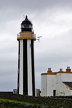 SandayIsland · 5.4 mi
 Sty WickBay · 6.2 mi
 Children's playground6.7 miComputer-made picture
More wrecks and historic events in Orkney Islands · All of Orkney Islands

What do you know about this place?Tap to add a comment or ask a question