What is recorded here
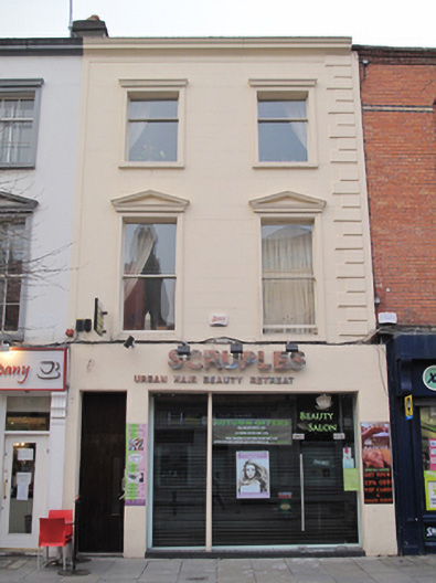
Terraced two-bay three-storey house, built c.1860, having recent rendered shopfront to ground floor. M-profile pitched slate roof with rendered chimneystacks to east party wall, rendered parapet wall having moulded masonry cornice. Ruled-and-lined rendered wall with block-and-start masonry quoins to west of front (north) elevation, rendered eaves course and quoin band to east of facade. Diminishing square-headed window openings with masonry sills, moulded architrave surrounds and single-pane timber sliding sash windows. Moulded masonry lintels to second floor openings and pedimented moulded masonry lintels to first floor window openings. Rendered shopfront to ground floor, having recent projecting lettering over square-headed glazed display window and square-headed door opening with replacement timber panelled door.
This modestly-scaled building forms in integral component of a substantial terrace lining the south side of Talbot Street, which was laid out c.1840 following the sale of Tyrone House. Much of the original form and fabric have been retained, including timber sash windows and numerous masonry and render embellishments that greatly enhance its appearance and contribution to the streetscape. While these details make the building stand out from its neighbours, the building's form also maintains the fenestration rhythm and parapet height of the rest of the terrace, thus contributing to the continuity of the streetscape.
This does not grant access. Most recorded buildings are privately owned; view them only from public ground unless the owner allows entry.
Places near here
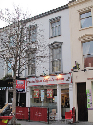 Roasted Bean Coffee Companyhouse · 8 yd
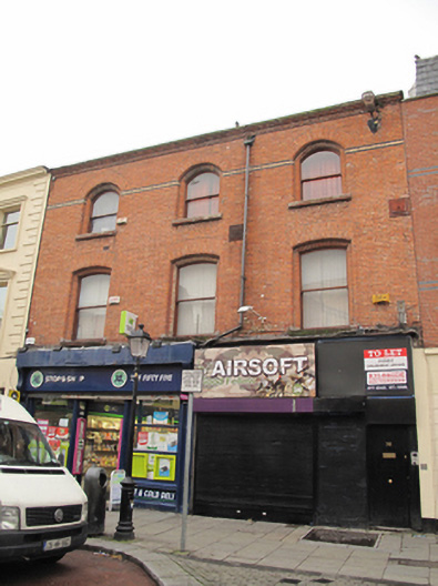 XL Stop Shop/Airsoft Good Fellowhouse · 10 yd
 1974 Dublin and Monaghan Bombings MemorialMonument · 21 yd
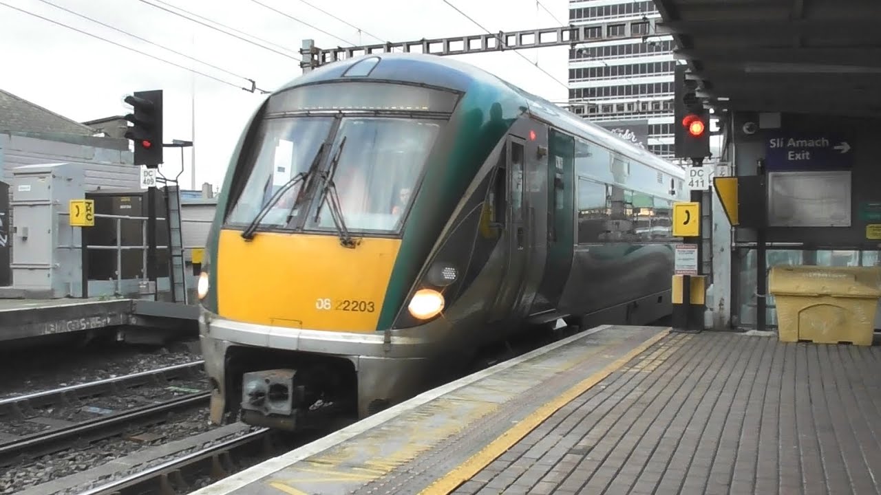 Irish Rail InformationVisitor information · 57 yd
 1913 LockoutMemorial · 230 yd
 Indication parkingVisitor information · 296 yd
 Burning of the Custom Housearmed conflict · 376 yd
 Custom House Visitor CentreHeritage attraction · 384 yd
 HomeMonument · 385 yd
 17 October UN International Day for the Eradication of PovertyMonument · 403 yd
 EPIC The Irish Emigration MuseumMuseum · 408 yd
 Burial ground in Unknown TownlandBurial ground · 831 yd
Other information
Photo: National Inventory of Architectural Heritage · Website use allowed for educational or private purposes with source credit