What is recorded here
From the National Monuments Service (Archaeological Survey of Ireland) record WI034-010003
Places near here
Photo credits
- Maker not stated on source page, ie.polomap.com
- Maker not stated on source page, br.pinterest.com
- Maker not stated on source page, www.irelandhighlights.com
- Golfing in Ireland; photographer not stated, Source publisher
- National Inventory of Architectural Heritage
- Maker not stated on source page, ru.pinterest.com
- Maker not stated on source page, en.wikipedia.org
- Maker not stated on source page, www.flickr.com
- Discover Ireland / Fáilte Ireland; individual photographer not stated, Discover Ireland
- Maker not stated on source page, commons.wikimedia.org
- Neil Arthurs, Neil Arthurs: Landscape Photography
 Saint Brigid's rc ChurchRuins · 361 yd
Explorer Tom Saint Brigid's RC Church in County Wicklow is incredibly proud of its stained glass window that lets in exactly one ray…
 Enclosure in CronawinniaEnclosure · 374 yd
Explorer Tom Enclosure in Cronawinnia has been hiding a scandal since 1838, probably involving a very important cow and a missing…
 Carysfort Castle (Site of)Fortification · 380 yd
Explorer Tom Carysfort Castle’s name really means 'Where Cary Forgot His Hat,' which sounds far more honest than any official…
 Macreddin Golf ClubGolf course · 818 yd
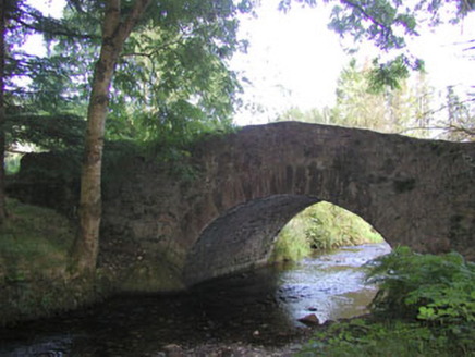 Macreddin BridgeBridge · 1008 yd
Explorer Tom Macreddin Bridge is a picturesquely sited structure with a wooded backdrop that blends well with its surroundings. It’s…
 Megalithic structure in ThreewellsMegalithic structure · 1.2 mi
Explorer Tom Megalithic structure in Threewells is where a priest once lost a bet about whether a giant actually lived there or not.…
 Bullaun stone in ThreewellsBullaun stone · 1.4 mi
Explorer Tom Bullaun stone in Threewells is claimed by a local who says he invented it himself. It used to be part of a wall but now…
 Fairy fort / earthen ringfort in CraffieldFairy fort / earthen ringfort · 1.5 mi
Explorer Tom Fairy fort / earthen ringfort in Craffield would rate its visitors one star for bringing loud shoes into its quiet…
Fairy fort / earthen ringfort in ClonerkinFairy fort / earthen ringfort · 1.6 miExplorer Tom Fairy fort in Clonerkin has been waiting for a prophecy about golden geese to come true for the last five hundred years…
 Greenan Farm Museum & MazeMuseum · 2.2 mi
Explorer Tom Greenan Farm Museums and Maze near Rathdrum offers a choice: lose your bearings in a hedge maze or find your way into…
 Mapped graveyardGraveyard · 4.7 mi
Explorer Tom The weather has a long-standing grudge against this specific graveyard because it always rains exactly when someone is…
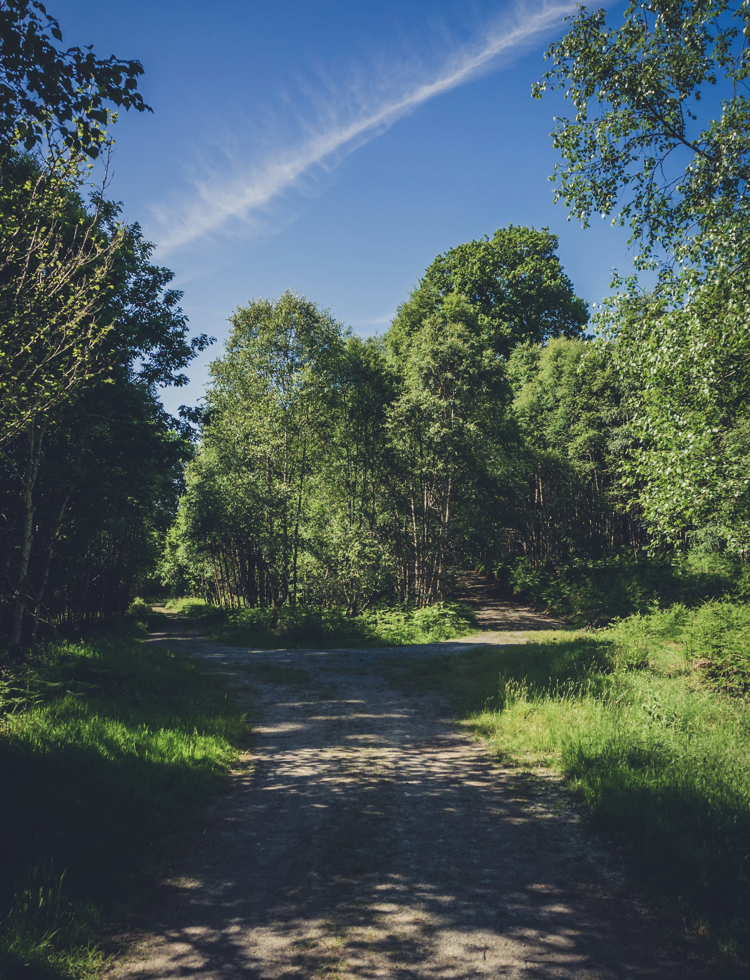 Vale of Clara Nature ReserveNature reserve · 6.4 mi
Explorer Tom The Vale of Clara near Rathdrum is a Wicklow oak wood beside the Avonmore River, where the path quietens under the…
More historic places in County Wicklow · All of County Wicklow

What do you know about this place?Tap to add a comment or ask a question