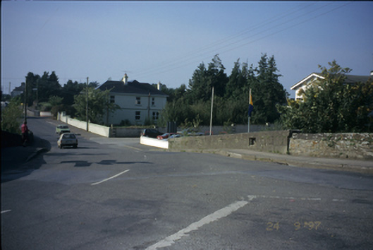
What is recorded here
Single-arch road bridge over river Scariff, built c. 1860, with irregular coursed limestone walls having bull nosed copings and cut-stone voussoirs.
From the Buildings of Ireland (National Inventory of Architectural Heritage) record 20402802
This does not grant access. Most recorded buildings are privately owned; view them only from public ground unless the owner allows entry.
Places near here
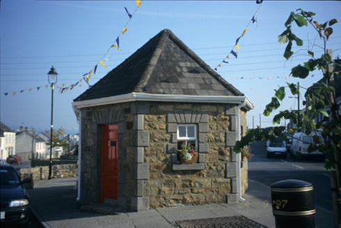 Scarriff Market HouseWeighbridge/weighhouse · 290 yd
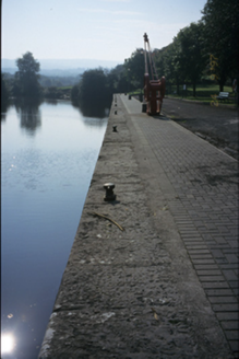 Scarriff DockQuay/wharf · 434 yd
 Common Lime1361 ydRound tower in TomgraneyRound tower · 1524 yd
 Pedunculate Oak1.3 miIndicatedCastle, tower house · 1.6 mi
 Castle BaunCastle · 2.3 mi
 Inishcaltra or Holy IslandIslet · 3.5 mi
_-_geograph.org.uk_-_5528121.jpg/250px-The_Holy_Well_on_Inis_Cealtra_(Holy_Island)_-_geograph.org.uk_-_5528121.jpg "Photo: Oliver Dixon, Wikimedia Commons · CC BY-SA 2.0") Lady WellHoly well · 3.5 mi
Lady WellHoly well · 3.5 mi Crow IslandIslet · 5.0 mi
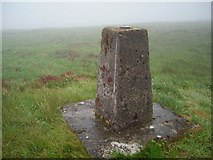 Cappaghabaun Mountain EastMountain / peak · 5.4 mi
 Rinnaman PointHeadland · 5.7 mi
Pictures: National Inventory of Architectural Heritage; Alvesgaspar, Wikimedia Commons · CC BY-SA 3.0; Algirdas at Lithuanian Wikipedia, Wikimedia Commons · Public domain; Roger Diel, Wikimedia Commons · CC BY-SA 2.0; Deadstar, Wikimedia Commons · CC BY-SA 3.0; Oliver Dixon, Wikimedia Commons · CC BY-SA 2.0; JP, Geograph · CC BY-SA 2.0; Richard Webb, Geograph · CC BY-SA 2.0; David P Howard, Geograph · CC BY-SA 2.0
More historic places in County Clare · All of County Clare
What do you know about this place?