What is recorded here
Sanday, Canker is a dyke in Orkney Islands, Scotland.
From the Historic Environment Scotland record 306682
The historic-place record does not grant public access. Check current conditions and ownership before entering land or a building.
Places near here
Photo credits
- Alpin Stewart, Wikimedia Commons · CC BY-SA 2.0
- Richard Webb, Wikimedia Commons · CC BY-SA 2.0
- Claire Pegrum, Wikimedia Commons · CC BY-SA 2.0
- Rob Farrow, Wikimedia Commons · CC BY-SA 2.0
- Oliver Dixon, Wikimedia Commons · CC BY-SA 2.0
- Beth Loft, Wikimedia Commons · CC BY-SA 2.0
- Ian Balcombe, Wikimedia Commons · CC BY-SA 2.0
 Sanday, BressigarthFarmstead · 853 yd
 Sanday, Overbister, ChurchChurch, Gate(s) · 868 yd
 Sanday, Russ NessMidden, Mound · 1069 yd
 Cata SandBeach / strand · 1144 yd
 Sanday Heritage CentreMuseum · 1189 yd
 Meur Burnt MoundArchaeological place · 1223 yd
 The CroftMuseum · 1273 yd
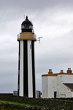 SandayIsland · 1387 yd
 Mid HolmIslet · 1458 yd
 Cata Sand Dunes and BeachBeach · 1.0 mi
 Bay of NewarkBay · 1.4 mi
 Sty WickBay · 1.9 mi
More archaeology and monuments in Orkney Islands · All of Orkney Islands
What do you know about this place?