Places near here
Photo credits
- National Inventory of Architectural Heritage
- Garry Dickinson, Geograph · CC BY-SA 2.0
- code poet, Wikimedia Commons · CC BY-SA 2.0
- Kieran Campbell, Geograph · CC BY-SA 2.0
- Maker named on the Wikimedia Commons picture page · CC BY-SA 3.0
- Sitomon, Wikimedia Commons · CC BY-SA 2.0
- Eric Jones, Geograph · CC BY-SA 2.0
- Karora, Wikimedia Commons · CC BY 4.0
- Jonathan Billinger, Wikimedia Commons · CC BY-SA 2.0
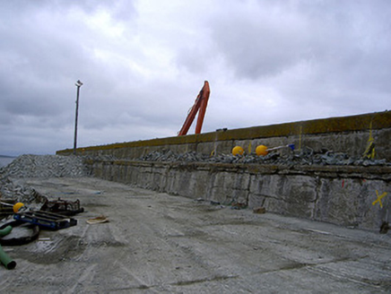 Port OrielPier/jetty · 5.2 mi
Explorer Tom Port Oriel has a feud between two families over who owns the best view of the pier. It’s all concrete and fishing industry drama, which is honestly quite something. Go now before the tide decides it’s had enough.
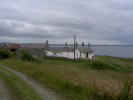 KillabushFarm house · 5.6 mi
Explorer Tom Killabush in Clogher is hiding a scandal where a farmer hid his wedding cake in the outbuildings for decades. It sits on a rocky outcrop, which makes it look permanently annoyed at the weather. Tell me if the
 Castle RuinsCastle, tower house · 6.5 mi
Explorer Tom Castle Ruins at Glaspistol has an imaginary twin across the sea that keeps sending it postcards from places that don't actually exist. It’s living its best ghostly life right now. Stop the car, it's worth the hazard lights.
 Termonfeckin CastleCastle · 8.3 mi
 CrossCross, High cross · 8.4 mi
 Sweet bay9.0 mi
Explorer Tom Sweet bay in County Louth would say in a job interview that it has excellent leaves and no management issues. It's free, it's odd, what more do you want? Just stand there looking impressed at its aromatic confidence.
 European Yew9.2 mi
Explorer Tom European Yew in County Louth offers a shortcut that isn't a shortcut, just a long loop back to where you started. Visit, then text me what you think. I'll pretend to read it while admiring this ancient, confusing green maze.
 Standing StonesStanding stone, pair · 9.3 mi
 Cooley PointHeadland · 9.7 mi
 Beaulieu House and GardensHeritage attraction · 11 mi
 Brookville ParkPark · 12 mi
 Cranfield PointHeadland · 13 mi
Explorer Tom Cranfield Point is deeply suspicious of the postman because he keeps delivering letters addressed to ‘The Sea’ with no return address, which annoys the point’s rocks immensely. It’s got a great view of Carlingford Lough, but it’s too busy worrying about the mail situation to enjoy the scenery properly. Tell me if the gossip I made up is true.
More wrecks and historic events in Dumfries and Galloway · All of Dumfries and Galloway

What do you know about this place?Tap to add a comment or ask a question