What is recorded here
Saltpans Coastal Promontory Fort stands where the Donegal coast bends, using the cliff itself as one wall and a built rampart to close the gap. The shape suggests people wanted to watch the water, control the shore path or keep something back when the sea rose angry. The exact builders and date have not survived into the facts provided, but the stones still point outward like a hand extended across the bay.
The Archaeological Survey of Ireland (ASI) is in the process of providing information on all monuments on The Historic Environment Viewer (HEV). Currently the information for this record has not been uploaded. To access available information for research purposes please make an appointment in advance with the Archive Unit (open Fridays 10.00 am – 5.00 pm), Department of Housing, Local Government and Heritage, The Custom House, Dublin 1 D01W6XO or email NMarchive@housing.gov.ie.
The monument record does not grant public access. Check the route and ask the landowner before entering private land.
- What survives
- Recorded monument
Places near here
 Promontory fortPromontory fort, coastal · 267 yd
 Macamish FortMartello tower and coastal battery · 386 yd
 Church in Drumhallagh LowerChurch · 886 yd
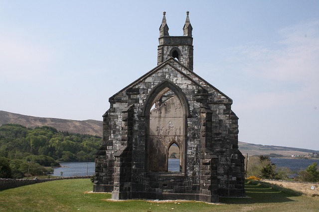 Old ChurchChurch · 1.5 mi
 Stragill BeachBeach / strand · 2.0 mi
 Neds Point FortFort · 2.1 mi
 O'Doherty's KeepCastle · 2.6 mi
 Lady's Bay, BuncranaOfficial bathing water · 2.6 mi
 Croaghan HillMountain / peak · 3.1 mi
 Rathmullan Wood Nature ReserveNature reserve · 3.6 mi
 Wych ElmWych Elm · 3.8 mi
 Brown’s PointHeadland · 4.0 mi