What is recorded here
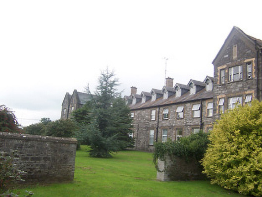
Former union workhouse complex on H-shaped plan, built c.1841, comprising a thirteen-bay two-storey range (having attic storey with dormers to roof) with three-storey double gable-fronted end blocks to the southwest and northeast. Further two and three-storey blocks, one containing a chapel, and detached buildings to the rear, some derelict. Now in use as a hospital. Pitched natural slate roofs with overhanging eaves, timber bargeboards to gable-fronted sections and brick chimneystacks. Raised limestone verges to gable ends of three-storey blocks. Constructed of coursed limestone rubble over cut stone plinth with brick or cut stone dressings to the openings. Square-headed window openings with a number of surviving sash windows but mostly with replacement windows. Tripartite timber sash windows to gable-fronted three-storey blocks. Square-headed door openings now mostly having replacement doors. Located to the rear (northwest) of the former workhouse administration block (15309008) and to the north of Mullingar. Former workhouse graveyard to the northeast (15309019).
The remains of a large-scale former union workhouse complex, built by the Poor Law Commission. The designs for this complex were prepared by George Wilkinson (1814-90). Substantial proportions of this complex survive intact making it one of the best surviving examples of its type in Ireland. It is well-built in a subdued Tudor Gothic style and retains much of its early form and fabric despite alterations for use as a hospital. Workhouses are historically linked with the Great Famine (1845-1849) and are important physical reminders of this traumatic period in Irish history. This structure (and ancillary buildings) forms part of a largely intact former Union Workhouse complex with the former workhouse administration block to the southeast (15309008) and the graveyard to the northeast (15309019) and is an important element of the architectural heritage of Westmeath. Prominently sited, this complex is an imposing element in the townscape to the north side of Mullingar.
This does not grant access. Most recorded buildings are privately owned; view them only from public ground unless the owner allows entry.
Places near here
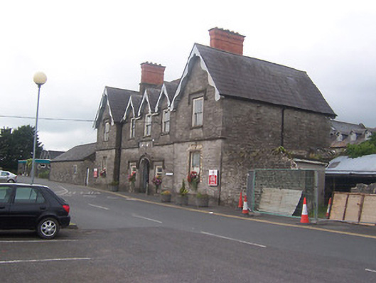 Saint Mary's Hospitalworkhouse administration block · 52 yd
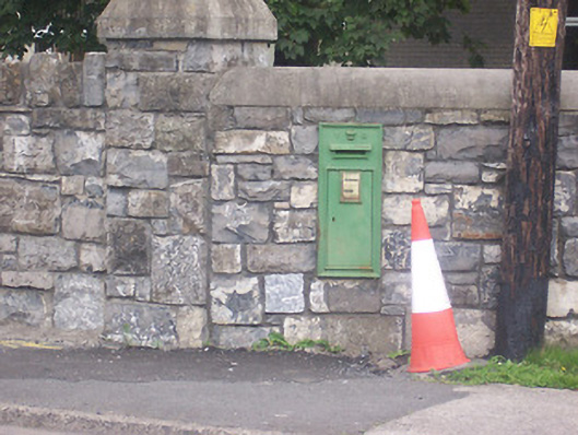 post boxpost box · 112 yd
 United Nations War MemorialMemorial · 338 yd
 Mullingar Cathedral MuseumMuseum · 1085 yd
 CastlemitchelCastle, unclassified · 1253 yd
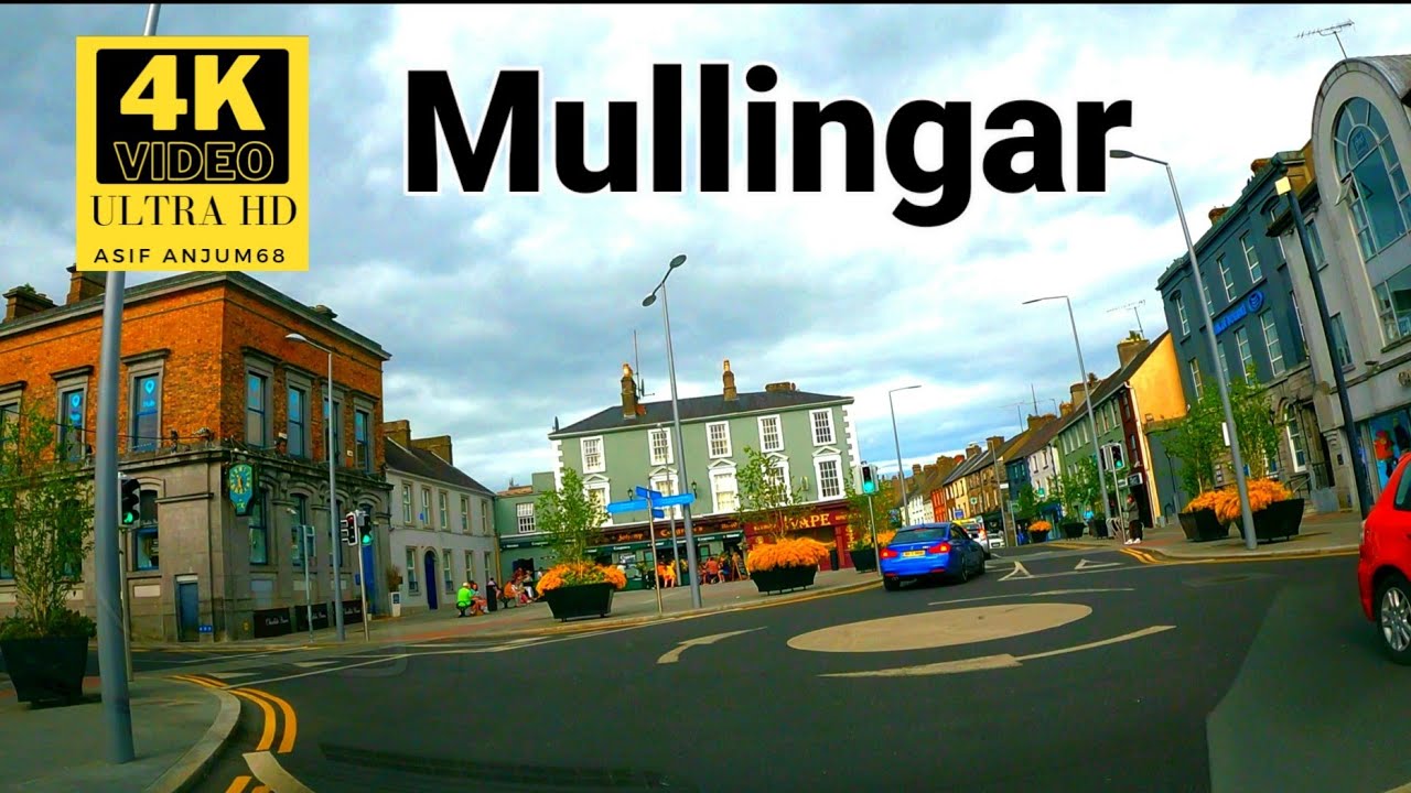 Town defences in MullingarTown defences · 1310 yd
 Famine MemorialMemorial · 1375 yd
 The Chimera GalleryGallery · 1384 yd
 Courthouse in MullingarCourthouse · 1402 yd
 CastleCastle, unclassified · 1421 yd
 Saint Brigid's WellSpring · 1692 yd
 Lady's IslandWood · 1.9 mi
Other information
Photo: National Inventory of Architectural Heritage · Website use allowed for educational or private purposes with source credit