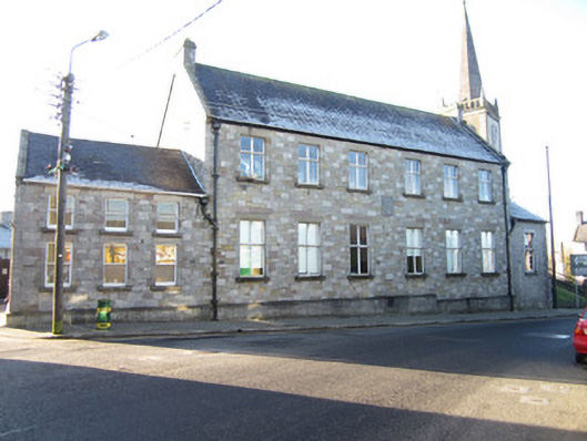
What is recorded here
Detached six-bay two-storey school, built 1889, with single-bay single-storey wing to west and lower three-bay two-pile wing of c.1918 to east, and lower two-bay two-storey return and single-storey lean-to additions to rear. Pitched slate roofs with cut limestone copings to gables, sprocketed and M-profile to east wing, with cut-stone skewed verges to older blocks supported by carved stone kneelers. Ashlar limestone chimneystacks to main block, with cast-iron rainwater goods having ogee gutters, square downpipes and hopper heads. Sparrow-pecked random ashlar sandstone walls with block-and-start quoins and dressings to openings, projecting base and carved stone shield within a square frame inscribed 'St Louis Convent National Schools'. Western extension has quarry-faced squared rubble with projecting block-and-start quoins and window dressings. Square-headed window openings have concrete sills, flat stone lintels with keystones above, and with steel casements to main block and west wing, and one-over-one pane timber sliding sash windows to east. Square-headed door opening in rear annex has timber-framed door with glass upper panels.
Originally a primary school and gradually altered to form part of the Saint Louis' secondary school for girls, this robust stone building terminates the west end of Farney Street, having a larger scale which sets it apart as a school structure at the end of a residential terrace. It has also framed and complimented the view of the adjacent St Finbarr's Church from across the broad marketplace of Main Street since the late nineteenth century. Its simple classical lines and well dressed stonework are fitting for the its position in the town of Carrickmacross which is dominated by a wide commercial main street, once the location of a busy market having fine civic, religious and institutional buildings terminating each end of the thoroughfare. The school occupies the site of an earlier building labelled as "Bath Estate Rent Office" on the Ordnance Survey County Monaghan Carrickmacross Sheet 3 (1862)
This does not grant access. Most recorded buildings are privately owned; view them only from public ground unless the owner allows entry.
Places near here
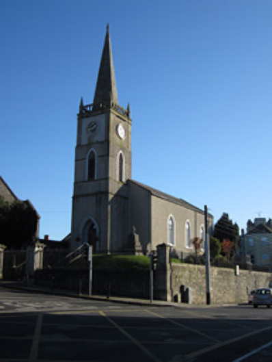 Saint Finbarr's Church (Magheross)church/chapel · 27 yd
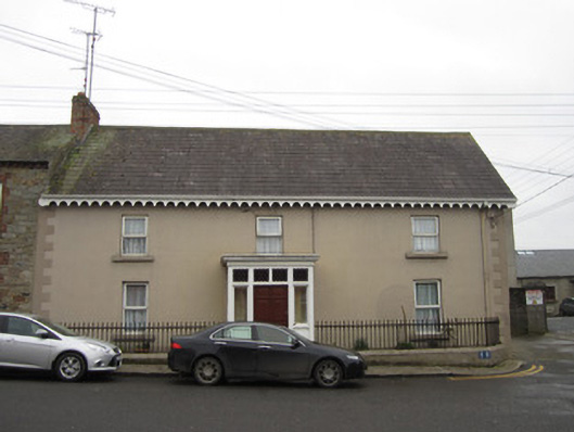 Iona Househouse · 30 yd
 Tober InverHoly well · 236 yd
 CrossCross, Churchyard cross · 356 yd
 Horse-chestnutHorse-chestnut · 1221 yd
 European BeechEuropean Beech · 1618 yd
 Mannan Castle (in ruins)Castle, Anglo-Norman masonry castle · 2.5 mi
 TobernagalliaghSpring · 3.3 mi
 Drumerlough MoreMountain / peak · 4.3 mi
 Flat cemetery in AnnaheanFlat cemetery · 4.4 mi
 BarleyhillMountain / peak · 4.8 mi
 Castle ruinsCastle, unclassified · 5.0 mi
Other information
Photo: National Inventory of Architectural Heritage · Website use allowed for educational or private purposes with source credit